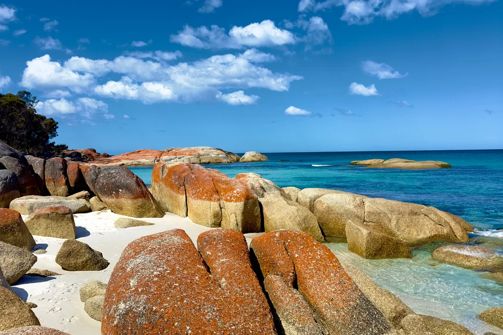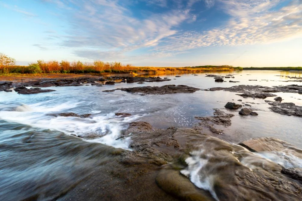
The Mary River Wetlands, located approximately 150 kilometers east of Darwin, represent one of the most significant ecological corridors in Australia’s Northern Territory. Spanning a vast expanse of monsoon forests, lily-fringed lagoons, and verdant floodplains, this region is globally recognized for its extreme biodiversity, most notably harboring the highest concentration of estuarine (saltwater) crocodiles on the planet. As a vital component of the Top End’s environmental and economic landscape, the Mary River National Park serves as a primary destination for ecological research, recreational fishing, and sustainable tourism.
Unlike the more commercially developed "jumping crocodile" cruises located closer to the Darwin metropolitan area, the Mary River system offers a more primitive and immersive experience. The park is characterized by its transition from tidal reaches near the Arafura Sea to freshwater billabongs upstream. This delicate balance of ecosystems is protected under the jurisdiction of the Parks and Wildlife Commission of the Northern Territory (PWCNT), which manages the land to balance conservation efforts with the region’s popularity among anglers and wildlife enthusiasts.
Historical Context and the Legacy of Exploration
The history of the Mary River is deeply intertwined with the colonial exploration of the Australian interior. In 1862, the pioneering explorer John McDouall Stuart navigated this region during his final, successful attempt to cross the Australian continent from south to north. Stuart’s expedition, which covered over 3,500 kilometers from Port Augusta to the northern coast, reached its penultimate stage at what is now known as Shady Camp.
Stuart’s arrival at the Mary River marked a turning point in Australian history, opening a route that would eventually facilitate the establishment of the Overland Telegraph Line and the subsequent development of Darwin. Today, the "Stuart’s Tree Memorial Cairn" at Point Stuart stands as a historical marker of this feat. Access to this memorial remains a seasonal privilege; the tracks are often submerged during the wet season, requiring a transition to four-wheel-drive vehicles as the floodwaters recede between May and September.
Hydrological Engineering and Conservation Efforts
A defining feature of the Mary River’s modern geography is the Shady Camp barrage. Constructed in the late 1980s, this concrete structure was an ambitious attempt by environmental engineers to mitigate a growing ecological crisis: saltwater intrusion. Due to various environmental shifts and historical land-use patterns, saltwater from the Arafura Sea began encroaching upon the freshwater wetlands, threatening to destroy the delicate paperbark forests and lily lagoons that serve as breeding grounds for countless species.
The barrage serves as a physical barrier to prevent the "saltwater front" from moving further upstream. However, its effectiveness is nuanced. While it successfully maintains freshwater levels for much of the year, it does not impede the movement of the region’s apex predators. Saltwater crocodiles (Crocodylus porosus) are frequently observed traversing the barrier or congregating at its base, particularly during the transition between seasons.
The Economic and Cultural Impact of Recreational Fishing
Recreational fishing is a cornerstone of the Northern Territory’s economy, contributing an estimated $270 million annually to the regional GDP. The Mary River is central to this industry, particularly during the "run-off"—the period at the end of the wet season when water drains from the floodplains into the main river channels.
This seasonal phenomenon creates a high-energy environment at the Shady Camp barrage. As nutrient-rich water plunges over the structure, it carries a bounty of baitfish, which in turn attracts large numbers of Barramundi (Lates calcarifer). This creates a unique, albeit hazardous, fishing environment. Anglers often stand on the barrage itself, casting into the turbulent waters while surrounded by the region’s crocodile population.
Beyond Barramundi, the river is home to Spotted Saratoga, Sooty Grunter, and Tarpon. The Northern Territory government has historically leveraged this natural abundance through initiatives like the "Million Dollar Fish" competition, which encourages tourism by tagging specific fish with high-value prizes, further cementing the Mary River’s status as a premier angling destination.
Biodiversity and Avian Ecology
The Mary River Wetlands are recognized as an Important Bird Area (IBA) by BirdLife International. The diversity of habitats—ranging from saline mudflats to freshwater marshes—supports an extraordinary array of avian species.
During the dry season, as water sources across the Top End diminish, the permanent billabongs of the Mary River, such as Mistake Billabong and Rockhole Billabong, become critical refuges. Visitors and researchers frequently document the following species:
- Comb-crested Jacana: Known colloquially as "Jesus birds" for their ability to walk on floating lily pads using their elongated toes.
- Jabiru (Black-necked Stork): Australia’s only stork species, often seen foraging in the shallows for fish and amphibians.
- Magpie Geese: These birds congregate in massive flocks, sometimes numbering in the thousands, creating a deafening and spectacular auditory experience.
- Nankeen Night Herons and Sea Eagles: Predatory birds that capitalize on the fish concentrations at the river’s barrages and lagoons.
The flora of the region is equally significant. The Jimmy Creek and Brian Creek Monsoon Forest walks provide access to dense pockets of rainforest containing giant banyan trees and verdant palms, which offer a stark contrast to the surrounding open floodplains.
Infrastructure and Tourism Management
To manage the influx of visitors while preserving the wilderness character of the park, the PWCNT has developed a tiered infrastructure system.
- Shady Camp: This serves as the primary hub for anglers. It features boat ramps and rustic camping facilities. Due to its proximity to the tidal reaches, it is a high-risk area for crocodile encounters, necessitating strict adherence to "Be Crocwise" safety protocols.
- Couzens Lookout: Located further upstream, this site offers a more tranquil environment. It provides elevated views of the river system and is equipped with wheelchair-accessible facilities, fire pits, and designated campsites.
- Point Stuart Wilderness Lodge: A private enterprise that complements the national park’s offerings. The lodge provides a range of accommodations, from safari tents to lodge rooms, and facilitates guided tours, including wetland cruises and fishing safaris.
The seasonal nature of the park is its primary management challenge. The Arnhem Highway provides the main artery of access, but secondary roads like Point Stuart Road are subject to closure during the monsoon season (October to April). Official responses from park authorities emphasize that visitor safety is paramount, particularly regarding the unpredictable nature of floodwaters and the omnipresence of crocodiles.
Environmental Analysis and Future Outlook
The Mary River Wetlands face ongoing challenges that require constant monitoring. Climate change poses a significant threat, as rising sea levels could eventually overtop the Shady Camp barrage, leading to a renewed crisis of saltwater intrusion. Such an event would jeopardize the freshwater habitats that support the region’s barramundi nurseries and magpie goose nesting sites.
Furthermore, the management of invasive species—both flora and fauna—remains a priority. Feral water buffalo, once a major threat to the wetlands’ integrity, have been largely controlled, but their impact on the soil and water quality remains a subject of longitudinal study.
From a journalistic perspective, the Mary River National Park represents a successful, albeit delicate, model of multi-use land management. It supports a thriving tourism industry and a culturally significant fishing tradition while maintaining its status as a critical sanctuary for Australian megafauna.
Practical Information for Visitors
For those planning to explore the region, the following data points are essential for a safe and productive visit:
- Access Fees: As of recent updates, the Northern Territory government requires a park pass for all visitors to NT National Parks. Fees are structured to support the maintenance of facilities and conservation programs.
- Seasonal Timing: The optimal window is the "cool dry" between May and September. During this time, temperatures typically range from 20°C to 31°C, and the mosquito population is at its lowest.
- Safety Requirements: Swimming is strictly prohibited in all areas of the Mary River National Park due to the extreme risk of crocodile attacks. Visitors are advised to stay at least five meters back from the water’s edge when fishing or observing wildlife.
- Equipment: Self-sufficiency is encouraged. Travelers should carry ample drinking water, mosquito repellent, and recovery gear if navigating 4WD tracks.
The Mary River’s ability to remain a "well-kept secret" despite its proximity to a capital city is a testament to the ruggedness of the terrain and the effectiveness of current conservation strategies. As the Northern Territory continues to promote eco-tourism, the Mary River Wetlands will undoubtedly remain a focal point for those seeking to witness the raw, unadulterated power of the Australian wilderness.