Located approximately 150 kilometers east of Darwin, the Mary River Wetlands represent one of the most ecologically significant and recreationally diverse landscapes in Australia’s Northern Territory. Covering a vast expanse of floodplains, billabongs, and monsoon forests, the Mary River National Park serves as a critical sanctuary for biodiversity and a premier destination for those seeking an authentic wilderness experience. Unlike the more commercialized "jumping crocodile" cruises found closer to the capital, the Mary River offers a raw, immersive encounter with the Top End’s most formidable predators and spectacular avian life. This region is internationally recognized for harboring the highest concentration of estuarine (saltwater) crocodiles in the world, making it a focal point for scientific study and eco-tourism.
Geographical Context and Ecological Profile
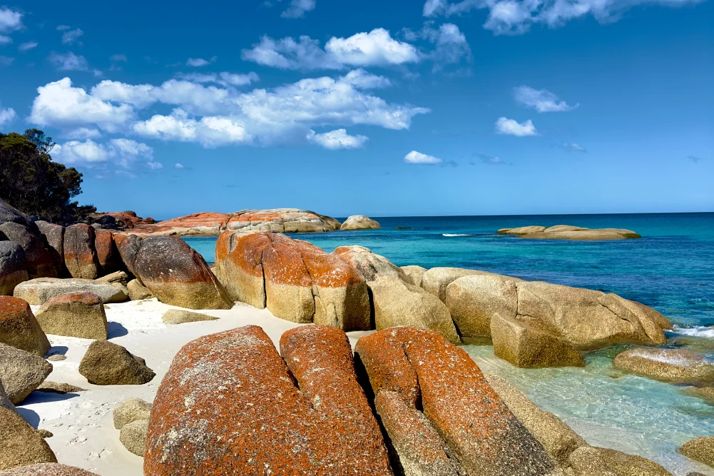
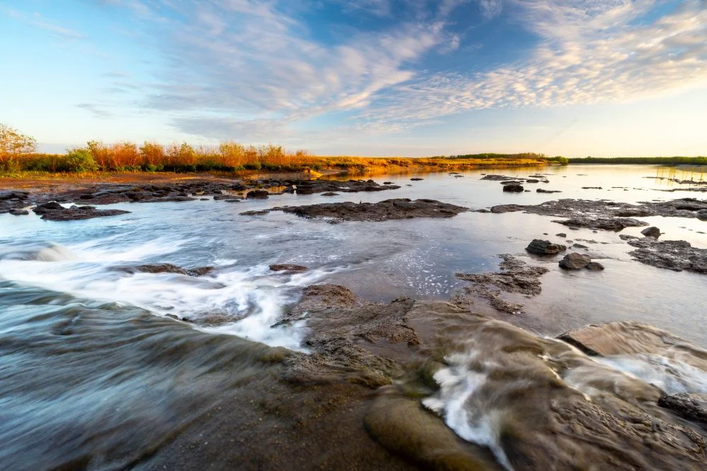
The Mary River catchment is a complex system of interconnected waterways that undergo dramatic transformations between the wet and dry seasons. The park’s geography is defined by its diversity, featuring lily-fringed lagoons, verdant floodplains, and dense monsoon forests. To the north, the river meets the Arafura Sea through mangrove-fringed tidal reaches, creating a transition zone where saltwater and freshwater ecosystems overlap.
The ecological health of the wetlands is a primary concern for the Northern Territory Parks and Wildlife Commission. In the late 1980s, a significant engineering project saw the construction of a barrage—a low-lying concrete dam—across the Mary River. This structure was designed to mitigate the threat of saltwater intrusion into the fragile freshwater upstream habitats, which had been exacerbated by the destructive grazing habits of feral water buffalo. While the barrage successfully maintains the freshwater pool, it remains a permeable barrier for the region’s apex predators. Estuarine crocodiles and various fish species frequently traverse the structure, particularly during high tides and the seasonal "run-off," creating a unique, albeit hazardous, environment for recreational activities.
The Historical Significance of Shady Camp
The human history of the Mary River is as storied as its natural history. A central landmark within the park is Shady Camp, a site that holds deep historical resonance for Australian exploration. It was named by the pioneering explorer John McDouall Stuart during his final, successful transcontinental expedition in 1862. Stuart’s journey, which spanned 3,540 kilometers from Port Augusta in South Australia to the northern coast, was a feat of endurance that eventually opened Australia’s interior to telegraph lines and pastoral development.
Stuart and his party rested on the banks of the Mary River at what is now Shady Camp before pushing through the final marshes to reach the sea at Chambers Bay. Today, the site serves as a gateway for modern explorers, though the challenges of the terrain remain. Access to Point Stuart and the commemorative Stuart’s Tree Memorial Cairn—a six-kilometer return trail—is strictly dependent on seasonal conditions. During the wet season (October to April), the tracks are frequently inundated, requiring visitors to wait for the dry season (May to September) when the landscape becomes accessible to four-wheel-drive vehicles.
The Seasonal Chronology of the Wetlands
The rhythm of life in the Mary River Wetlands is dictated by the monsoonal cycle. This chronology is essential for visitors and researchers to understand the park’s shifting accessibility and wildlife behavior.
- The Wet Season (October – April): Characterized by heavy rainfall and widespread flooding, the wetlands expand to cover thousands of square kilometers. During this time, many roads, including the access points to Shady Camp and Couzens Lookout, are closed to the public. The abundance of water allows crocodiles to move deep into the floodplains to breed.
- The Run-off (March – May): As the rains cease, the vast inland seas begin to drain back into the river channels and eventually the Arafura Sea. This period is the "golden hour" for anglers. The rushing water carries baitfish over the Shady Camp barrage, triggering a feeding frenzy among barramundi and crocodiles alike.
- The Dry Season (May – September): This is the peak tourist season. As the floodplains dry out, wildlife concentrates around permanent water sources like Mistake Billabong and Rockhole Billabong. Temperatures stabilize between 20°C and 31°C, and the humidity drops, making camping and hiking more viable.
- The Pre-Wet "Build-up" (September – October): Temperatures and humidity rise sharply. This is often when birdlife is most spectacular as migratory species arrive, though the heat can be punishing for unprepared visitors.
Recreational Economy: Fishing and Tourism Data
The Mary River is a cornerstone of the Northern Territory’s recreational fishing industry, which contributes significantly to the regional economy. The "run-off" period attracts thousands of anglers vying for barramundi, a prized sport fish. Beyond barramundi, the river is home to spotted saratoga, sooty grunter, and tarpon.
The economic impact is facilitated by local operators such as the Point Stuart Wilderness Lodge and various cruise companies. For example, guided fishing safaris and boat rentals provide essential infrastructure in a remote area. Data from the Northern Territory government indicates that national park entry and camping fees—currently set at $10 per day for adults and $25 for families—are reinvested into the maintenance of facilities like the wheelchair-accessible toilets at Couzens Lookout and the upkeep of boat ramps at Rockhole and Corroboree Billabong.
Tourism operators have noted a shift toward "slow tourism" in the region. Visitors are increasingly seeking immersive wildlife photography opportunities and birdwatching tours rather than just trophy fishing. The Corroboree Billabong, located on the western side of the river, has become a hub for these activities, with operators like Wildlands and Corroboree Billabong Wetland Cruises providing access to the dense concentrations of Jabirus, Sea Eagles, and Brolgas.
Wildlife Analysis and Avian Diversity
The Mary River is often described as a "living auditorium." The avian diversity is a primary draw for international naturalists. The wetlands support significant populations of:
- Comb-crested Jacanas: Known colloquially as "Jesus birds" for their ability to walk on floating lily pads.
- Magpie Geese: These birds congregate in massive flocks, their honking calls defining the soundscape of the floodplains.
- Jabirus (Black-necked Storks): Australia’s only stork species, often seen foraging silently in the shallows.
- Apex Predators: While freshwater crocodiles are present in the upper reaches and billabongs, the estuarine crocodiles dominate the tidal sections. These "salties" can exceed six meters in length and are a constant presence near the Shady Camp barrage.
The flora is equally diverse, with the Jimmy Creek and Brian Creek Monsoon Forest Walks offering a glimpse into a prehistoric landscape. These areas feature giant banyan trees and orange-footed scrub fowls, which build massive nesting mounds that can reach several meters in height.
Infrastructure and Safety Implications
Operating a national park in such an extreme environment presents unique challenges. The Northern Territory government maintains a "Be Crocwise" policy, which is strictly enforced through signage and public education. The presence of anglers standing in the water at the Shady Camp barrage remains a point of contention and a highlight of the "Top End" culture’s perceived nonchalance toward danger. However, official advice remains clear: visitors should stay at least five meters back from the water’s edge.
Furthermore, the "most veracious inhabitant" of the mangroves—the mosquito—poses a logistical challenge for campers. The density of mosquitoes in the wetlands can be overwhelming, particularly at dusk. Effective management of these pests through repellent and "mossie-proof" infrastructure is a necessity for any overnight stay.
Broader Environmental Impact and Future Outlook
The Mary River Wetlands face ongoing environmental threats that require active management. The encroachment of invasive species, such as mimosa pigra and feral pigs, threatens the integrity of the native vegetation. Additionally, climate change poses a long-term risk through rising sea levels, which could eventually overwhelm the Shady Camp barrage and lead to permanent saltwater inundation of the freshwater lagoons.
The balance between accessibility and preservation is delicate. The Mary River’s proximity to Darwin—only a two-hour drive—makes it one of the most accessible wilderness areas in northern Australia. This accessibility ensures a steady stream of revenue and public interest, which is vital for continued conservation efforts. However, it also necessitates a robust management plan to prevent over-fishing and habitat degradation.
In conclusion, the Mary River National Park is more than just a recreational playground; it is a vital ecological corridor and a monument to Australia’s exploratory history. For the visitor, it offers a rare opportunity to witness the raw power of nature, from the silent glide of an apex predator to the cacophonous flight of a thousand magpie geese. As long as the seasonal cycles continue to turn, the Mary River will remain a definitive highlight of the Australian Top End, guarding its secrets behind a veil of lilies and the watchful eyes of the world’s largest crocodiles.