The Indian Ocean Drive, a critical 270-kilometer infrastructure project completed in 2010, has fundamentally transformed regional tourism in Western Australia by providing a direct coastal link between Perth and the Mid-West. This corridor, which extends into the Brand Highway to reach Kalbarri, facilitates access to a diverse array of geological, maritime, and botanical landmarks. As the state’s "Coral Coast" continues to see a post-pandemic resurgence in domestic and international visitors, understanding the logistical, historical, and environmental facets of this 600-kilometer route is essential for stakeholders and travelers alike.
The Adventure Economy of Lancelin and the Yued Coastline
The journey begins approximately 127 kilometers north of Perth in Lancelin, known traditionally by the Yued Indigenous name "Wangaree." The town’s economy is historically rooted in the Western Rock Lobster (Panulirus cygnus) industry, which contributes significantly to Western Australia’s $500 million commercial fishing sector. However, in recent decades, Lancelin has diversified into a premier destination for adventure tourism.
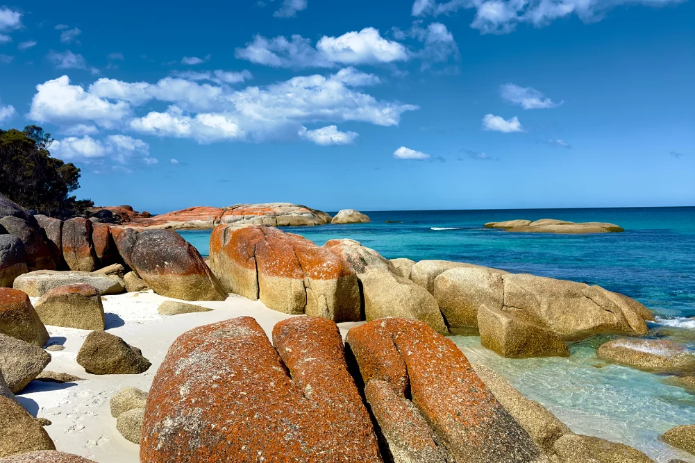
The Lancelin sand dunes, stretching over two kilometers, represent the largest of their kind in the state. These mobile formations are not merely recreational sites for sandboarding and off-road vehicles but are significant geological features that shift according to the prevailing "Fremantle Doctor" sea breezes. Offshore, the Lancelin Island Nature Reserve acts as a sanctuary for various seabird species and the Australian Sea Lion. The surrounding waters are also a graveyard for maritime history, containing at least 14 known shipwrecks, which now serve as integral components of the region’s dive tourism infrastructure.
Geological Significance of the Pinnacles Desert
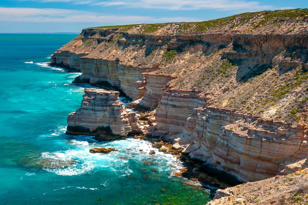
Moving north into Nambung National Park, the landscape transitions into the Pinnacles Desert, one of Australia’s most recognizable natural landmarks. These limestone spires, some reaching four meters in height, are formed from the remains of seashells dating back to a geological epoch when the area was submerged beneath the ocean. According to the Department of Biodiversity, Conservation and Attractions (DBCA), these aeolianite structures were exposed over thousands of years as shifting sands moved inland.
For the Yued people, the Pinnacles hold deep cultural significance, often linked to the Wagyl, the creative serpent of Noongar Dreaming. From a western historical perspective, the spires remained largely unknown to the broader public until the 1960s, despite being sighted by early Dutch explorers who reportedly mistook them for the ruins of an ancient city. Today, Nambung National Park receives hundreds of thousands of visitors annually, necessitating careful management to balance tourism with the preservation of the fragile limestone structures and the surrounding acacia shrublands.
Marine Conservation and Biodiversity in Jurien Bay
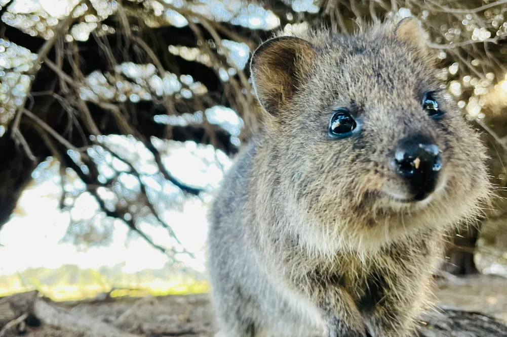
The town of Jurien Bay serves as the gateway to the Jurien Bay Marine Park, a region of high biodiversity that includes extensive seagrass meadows. These meadows are vital nurseries for the Western Rock Lobster and provide foraging grounds for a resident population of approximately 800 Australian Sea Lions.
The management of Jurien Bay involves a complex interplay of restricted access zones and tourism opportunities. Breeding colonies on Buller Island, North Fisherman Island, and Essex Rocks are strictly protected, with commercial tours providing the only legal means of close interaction. Recent data from marine biologists suggests that while the Australian Sea Lion remains one of the rarest pinnipeds in the world, the managed tourism model in Jurien Bay has successfully raised awareness without disrupting breeding cycles. Additionally, the development of artificial reefs and snorkeling trails near the town’s old jetty demonstrates a proactive approach to enhancing local marine ecosystems while providing low-impact recreational activities.
Maritime Heritage and the Shipwrecks of the Mid-West
As the route continues through Green Head and toward Geraldton, the narrative of the coastline becomes inextricably linked to the "Gilt Dragon" (Vergulde Draeck), a Dutch East India Company (VOC) ship that foundered in 1656. The 1960s discovery of silver coins near Dynamite Bay—named for the methods used by early treasure hunters—remains a pivotal moment in Western Australian maritime archaeology.
In Geraldton, the regional capital of the Mid-West, the focus shifts to the HMAS Sydney II. The sinking of this Leander-class light cruiser in 1941 remains Australia’s greatest naval tragedy, resulting in the loss of all 645 crew members. The HMAS Sydney II Memorial on Mount Scott serves as a site of national significance, overlooking the waters where the wreck was eventually located in 2008. This historical context provides a somber counterpoint to the natural beauty of the coast, highlighting the treacherous nature of the Indian Ocean that defined early European exploration and wartime defense.
Botanical Diversity and the Phenomenon of Hutt Lagoon
North of Geraldton, the Chapman Valley and the township of Northampton offer access to one of the world’s most diverse botanical regions. Western Australia is home to over 12,000 species of wildflowers, 60% of which are found nowhere else on Earth. The "everlasting" daisies (Rhodanthe chlorocephala) and the elusive wreath flower (Lechenaultia macrantha) are primary drivers of seasonal tourism between July and October.
Near the mouth of the Hutt River lies Hutt Lagoon, a 14-kilometer-long salt lake famous for its vivid pink coloration. This phenomenon is caused by the presence of the carotenoid-producing algae Dunaliella salina. The lagoon is not merely an aesthetic marvel but a site of industrial importance; it houses the world’s largest microalgae production plant, where beta-carotene is harvested for use in food coloring and vitamin supplements. The intensity of the pink hue varies according to salinity levels and light conditions, making it a focal point for environmental photography and biological study.
Infrastructure and Tourism Development in Kalbarri
The terminus of this coastal journey is Kalbarri, situated at the mouth of the Murchison River. The region has benefited from significant state government investment, most notably the $24 million Kalbarri Skywalk project completed in 2020. These two cantilevered walkways, suspended 100 meters above the Murchison River Gorge, provide panoramic views of the 400-million-year-old Tumblagooda Sandstone formations.
The Murchison River, the second-longest river in Western Australia, provides a unique estuarine environment where the "Blue Holes" fish habitat protection area meets the rugged gorges of the inland national park. The local economy in Kalbarri is heavily reliant on the "Wilderness and Adventure" brand, with activities ranging from hiking the Z-Bend trail to surfing at Jacques Point, a designated National Surfing Reserve.
Economic and Environmental Implications
The continued development of the Indian Ocean Drive corridor presents both opportunities and challenges for Western Australia. Economically, the route supports a "drive tourism" market that sustains small businesses in hamlets like Leeman, Green Head, and Cervantes. By spreading visitor spend across multiple regional shires, the corridor reduces the seasonal volatility often associated with isolated tourist hubs.
However, the environmental impact of increased vehicle traffic and human presence in sensitive areas such as Stockyard Gully Caves and the various national parks remains a concern for conservationists. The DBCA and local shires have implemented several measures, including:
- Restricted 4WD Access: Limiting vehicle types in fragile dune systems and cave reserves.
- Interpretive Signage: Educating visitors on the "Leave No Trace" principles and Indigenous cultural heritage.
- Infrastructure Hardening: Building boardwalks and viewing platforms to prevent soil erosion and flora destruction.
Conclusion
The 600-kilometer journey from Perth to Kalbarri via the Indian Ocean Drive is more than a scenic route; it is a vital economic and cultural artery for Western Australia. From the industrial harvesting of rock lobsters and algae to the preservation of maritime tragedies and ancient geological formations, the corridor offers a comprehensive look at the state’s identity. As climate patterns shift and tourism trends evolve, the sustainable management of this coastline will remain a priority for ensuring that the "Coral Coast" continues to serve as a world-class destination while protecting the intrinsic values of its natural and historical landscapes.