The landscape of American outdoor recreation has reached a critical inflection point in 2026 as the National Park Service (NPS) and the Bureau of Land Management (BLM) expand permit requirements to record levels. Following years of exponential growth in trail usage, federal agencies have implemented more stringent reservation systems to mitigate "over-tourism" and ecological degradation. For the 2026 season, permit lotteries for iconic routes such as Wyoming’s Teton Crest Trail and Zion’s Angels Landing were exhausted within minutes of opening, leaving thousands of prospective hikers without access to their primary destinations.
In response to this administrative bottleneck, conservationists and regional tourism boards are advocating for a strategic shift in visitor distribution. By highlighting "high-payoff" alternatives that offer comparable geological and ecological experiences without the restrictive quotas of the most famous landmarks, agencies hope to preserve the integrity of the wilderness while satisfying the public’s demand for high-alpine and desert adventures.
The Evolution of the Federal Reservation System
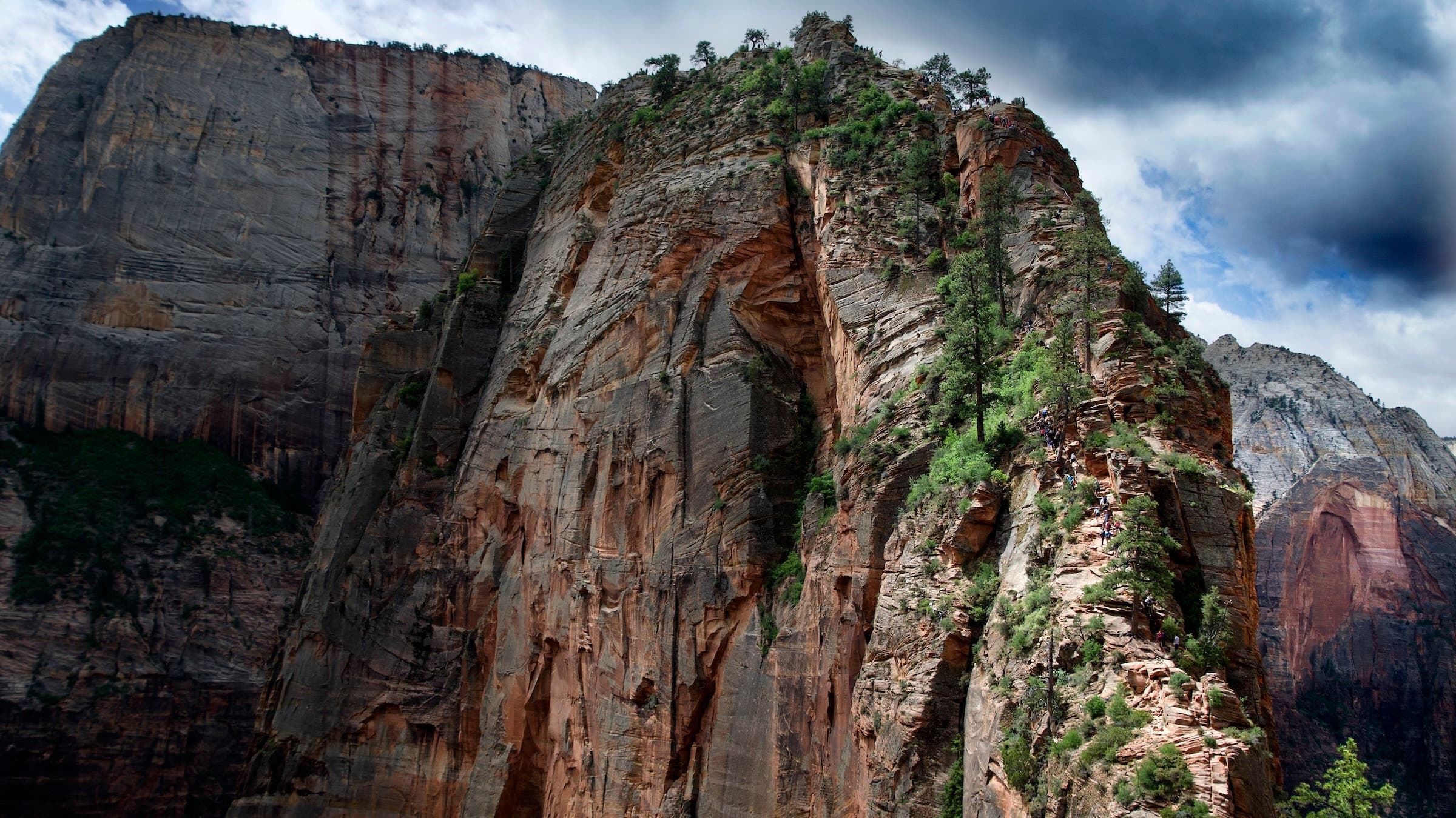
The transition toward a "reservation-first" model for the American backcountry is not a new phenomenon, but 2026 marks a year of unprecedented scale. The "loving to death" of public lands—a term used by rangers to describe soil compaction, illegal campsite expansion, and water source contamination—has forced a move away from open-access recreation. Statistics from the Department of the Interior indicate that popular trails like Angels Landing in Zion National Park now receive more applications in a single day than can be accommodated in an entire season.
The frustration among the hiking community is palpable. For many, the lottery system feels like a barrier to the "freedom of the hills." However, land managers argue that these systems are essential for safety and resource protection. To bridge the gap, experts have identified several "permit-free swaps" that provide the same level of challenge and aesthetic beauty as their famous counterparts.
Southwest Alternatives: Zion and the Desert Southwest
Zion National Park remains one of the most congested units in the National Park System. While Angels Landing is the most sought-after day hike, the permit requirements have pushed many toward the park’s periphery.
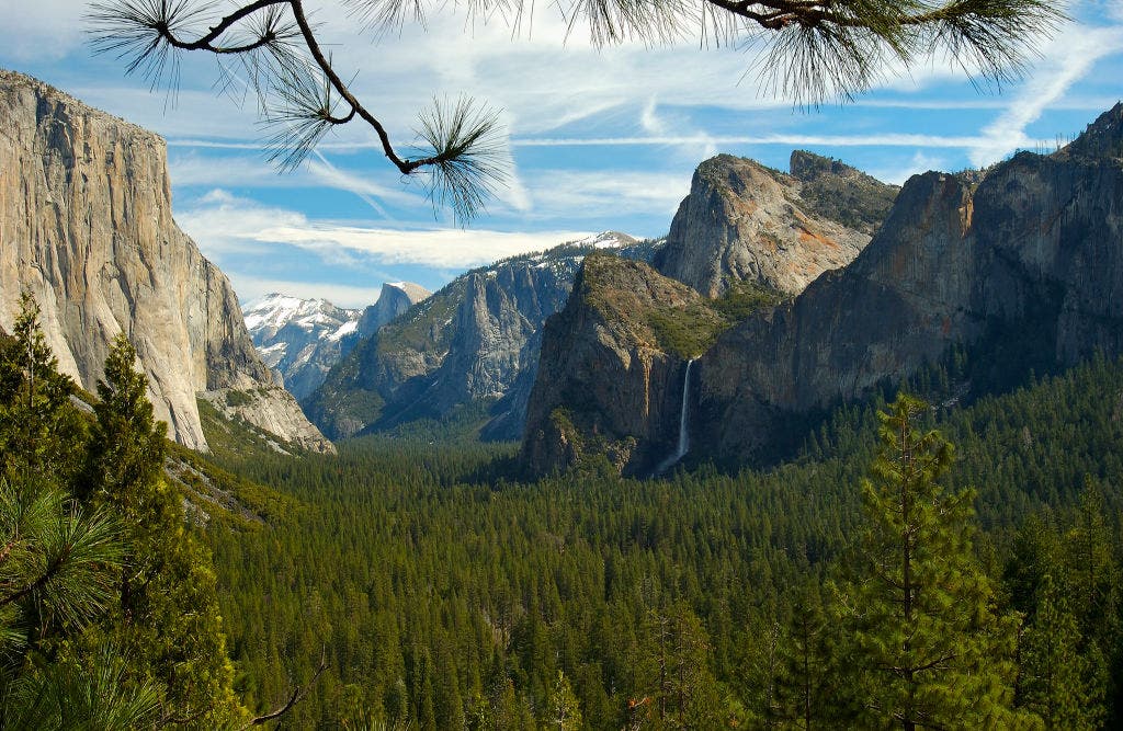
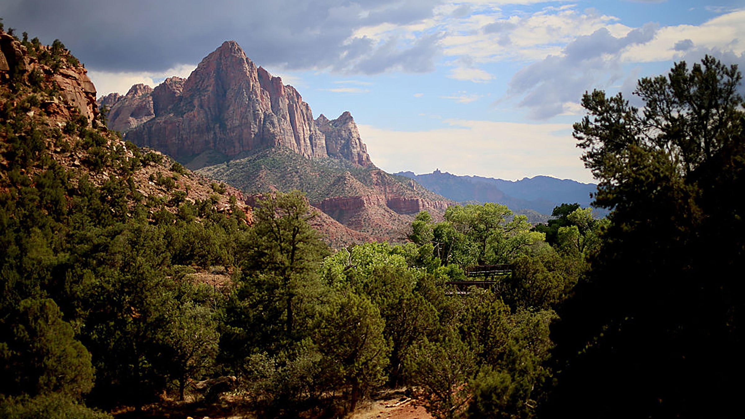
The Watchman Trail as an Alternative to Angels Landing
The Watchman Trail offers a compelling alternative for those unable to secure a permit for the chains of Angels Landing. While shorter at 3.3 miles, the trail provides a comprehensive overview of the Zion Canyon’s lower reaches. Geologically, it offers similar vistas of the Virgin River and the monolithic Towers of the Virgin. Unlike the high-stakes exposure of the West Rim, The Watchman is accessible year-round and lacks the severe winter icing that frequently closes more vertical routes. Data from the Zion Visitor Center suggests that while The Watchman sees steady traffic, it lacks the hazardous congestion that necessitated the Angels Landing permit system in the first place.
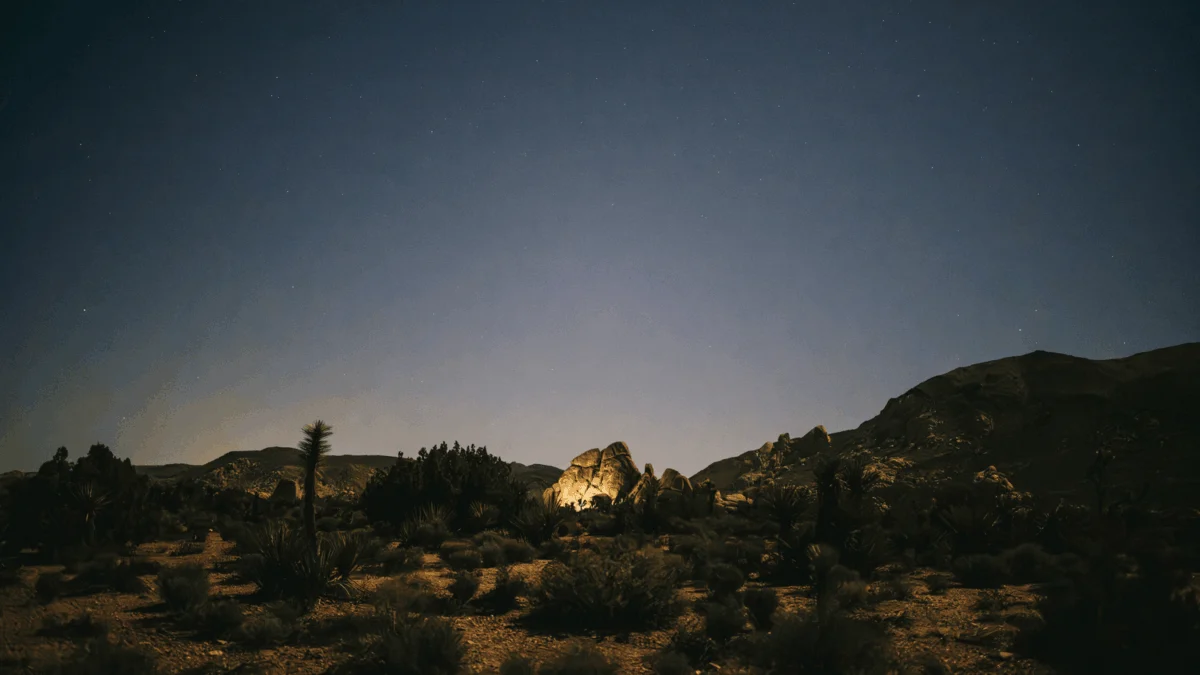
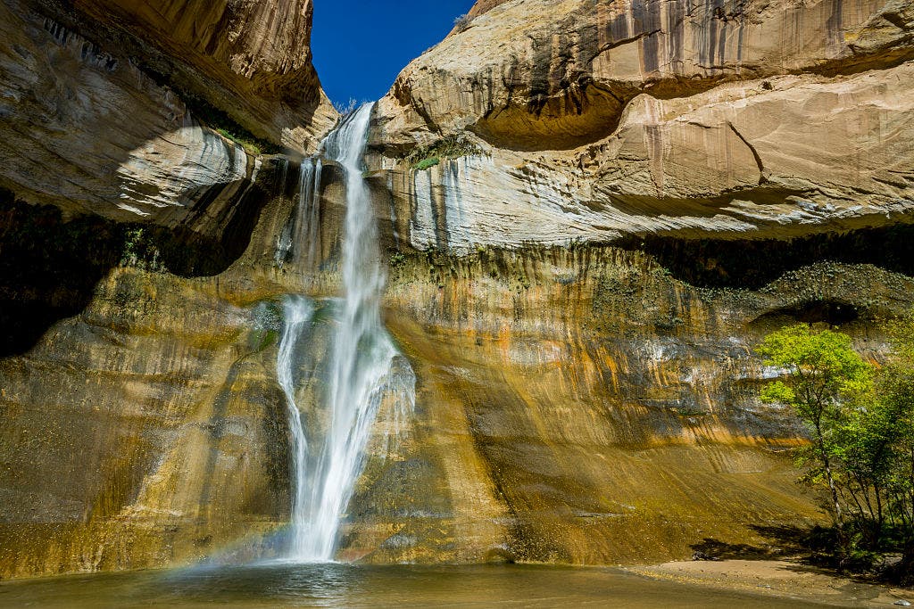
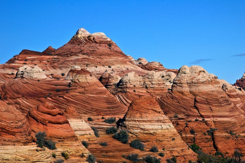
Buckskin Gulch and Coyote Gulch: Expanding the Desert Horizon
In the broader Colorado Plateau, the "Wave" at Coyote Buttes North remains the most exclusive permit in the United States, with thousands of applicants vying for a handful of daily spots. The Buckskin Gulch via Wire Pass serves as a geological peer to The Wave. As one of the longest continuous slot canyons in the world, Buckskin offers the same sinuous, layered Navajo sandstone and "squeeze" mechanics without a daily visitor quota.
Similarly, for those locked out of the Grand Canyon’s Rim-to-Rim permits, the Coyote Gulch Loop in Grand Staircase-Escalante National Monument provides a comparable experience of vertical scale and riparian beauty. This 10.6-mile loop includes iconic features such as the Jacob Hamblin Arch and ancient petroglyphs, offering a "cathedral-like" wilderness experience that mimics the inner-canyon atmosphere of the Grand Canyon.
The High Sierra and Pacific Coast: Beyond the John Muir Trail
The High Sierra remains the "crown jewel" of American trekking, but the John Muir Trail (JMT) has become nearly impossible to hike in its entirety due to overlapping permit zones from various national forests and parks.
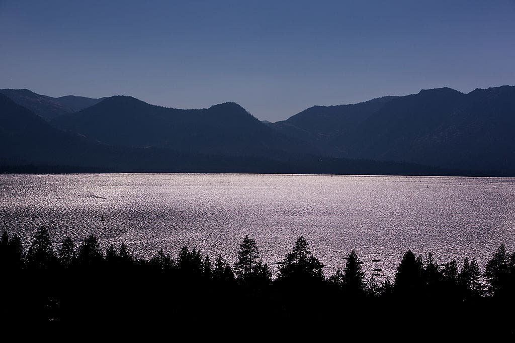
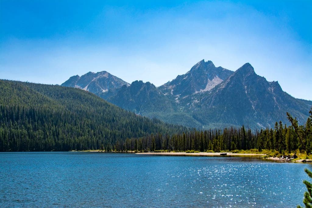
The Tahoe Rim Trail (TRT) Shift
For the 2026 season, the Tahoe Rim Trail has emerged as the primary alternative for JMT hopefuls. This 167-mile loop offers a diverse range of Sierra Nevada ecosystems, from the granite moonscapes of the Desolation Wilderness to dense stands of red fir. Crucially, as of March 20, 2026, a new "Zone 46" thru-trekker quota has been implemented on Recreation.gov to streamline access for long-distance hikers. This administrative update allows for more predictable planning than the JMT’s competitive "rolling window" lottery.
Coastal Resilience: Santa Cruz Island and the Oregon Coast
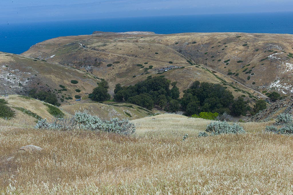
On the West Coast, California’s Lost Coast and Hawaii’s Kalalau Trail are often cited as the premier coastal treks, but both are notoriously difficult to book. In 2026, Santa Cruz Island in the Channel Islands National Park is being marketed as the "Galapagos of North America." A 12.8-mile overnight trek across the island’s Montañon Ridge provides the same rugged, sea-cliff aesthetics as the Kalalau, accompanied by unique biodiversity such as the island fox.
Further north, the Oregon Coast Trail offers a 400-mile corridor of mossy rainforest and sea stacks. A 31.5-mile section near Cape Blanco provides a secluded alternative to the Lost Coast, requiring hikers to master tide-chart navigation rather than lottery systems.
Northern Rockies: The Reopening of the Beaten Path
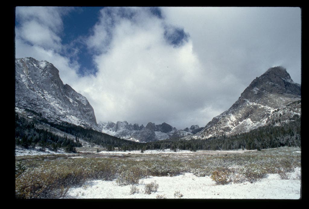
In Montana, Glacier National Park’s Going-to-the-Sun Road and its associated backcountry have faced severe restrictions due to overcrowding. This has led to a resurgence of interest in the Beartooth-Absaroka Wilderness.
The 2026 Reopening of "The Beaten Path"
Following the catastrophic floods of 2022 that destroyed infrastructure across the region, the 2026 season marks the full restoration of "The Beaten Path." Rangers at the Beartooth Ranger District confirmed that the critical bridge over East Rosebud Creek has been rebuilt, reopening this 26.3-mile point-to-point trek. This route offers a density of alpine lakes and 10,000-foot peaks that rivals Glacier’s interior, but without the mandatory vehicle reservations and backcountry lotteries that define the Glacier experience.
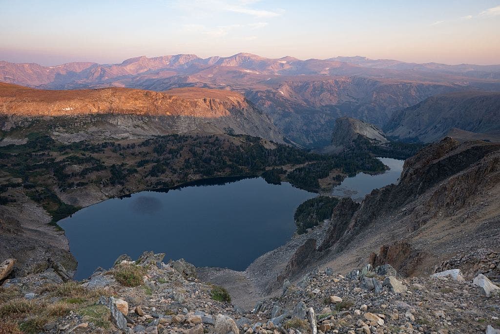
Wyoming’s Washakie Pass vs. The Teton Crest
The Teton Crest Trail is often cited as the most beautiful hike in the lower 48, but its permits for 2026 were exhausted within hours of the portal opening. Approximately 70 miles away, the Wind River Range’s Washakie Pass Loop offers a similar—and arguably more rugged—alpine experience. The Cirque of the Towers, a horseshoe-shaped amphitheater of 12,000-foot spires, serves as a formidable peer to the Teton Range. While the trailhead (Big Sandy) is becoming increasingly popular, it currently remains a non-permit destination for dispersed camping, provided hikers adhere to Leave No Trace principles.
Logistical Realities and Safety Implications
While permit-free alternatives offer relief from administrative hurdles, they often present greater physical and logistical challenges. The absence of a permit system often correlates with a lack of developed infrastructure, such as well-signed junctions or reliable water sources.
- Self-Reliance and Navigation: In areas like Buckskin Gulch or the Wind River Range, GPS and topographical maps are mandatory. Unlike the highly-trafficked corridors of the Grand Canyon, these "swaps" require advanced route-finding skills.
- Waste Management: The shift toward "WAG Bag" requirements is expanding. Even in non-permit areas like Coyote Gulch, hikers are legally required to pack out human waste to protect the fragile desert water tables.
- Wildlife Safety: Many of the northern alternatives, specifically The Beaten Path and Washakie Pass, are situated in prime grizzly bear habitat. The 2026 safety guidelines emphasize that bear spray is a non-negotiable piece of equipment for these permit-free routes.
Analysis of the Broader Impact
The push toward alternative trails is part of a larger "Dispersed Recreation Strategy" being adopted by federal agencies. By redirecting traffic to underutilized areas, the NPS and BLM hope to achieve two goals: the ecological recovery of "sacrifice zones" (high-traffic areas) and the economic revitalization of gateway towns outside the traditional National Park boundaries.
Towns like Pinedale, Wyoming, and Red Lodge, Montana, have seen a measurable uptick in tourism revenue as hikers pivot away from the Tetons and Glacier. This economic shift supports local gear shops, guide services, and hospitality sectors that were previously overshadowed by the fame of nearby National Parks.
However, some conservationists warn of the "displacement effect." As "hidden gems" become the recommended swaps for permit-restricted areas, they too may eventually require quotas. The 2026 season serves as a case study for whether the American public can voluntarily disperse its recreational impact or if the future of the backcountry will eventually be 100% regulated by digital lotteries.
For now, the message from the trails is clear: the most iconic views in America may require a permit, but the most profound wilderness experiences are often found just one valley over, where the only requirement is the willingness to walk.