The Gove Peninsula, situated on the northeastern tip of Arnhem Land in Australia’s Northern Territory, serves as a profound geographical archive of pre-colonial international relations, indigenous sovereignty, and ecological diversity. Central to this region is Nhulunbuy, a township that offers a rare vantage point into the sophisticated maritime history of the Yolngu people, specifically the Lamamirri clan, and their centuries-old connection with Indonesian seafarers. While much of Australian history is often framed through the lens of post-1788 British settlement, the archaeological and cultural sites of the Gove Peninsula provide empirical evidence of a vibrant, globalized trade network that predates European arrival by over a century.
The Makassan-Yolngu Trade: A Pre-Colonial Chronology
Historical records and carbon dating of archaeological sites suggest that the relationship between the Yolngu people and the Makassan traders from Sulawesi (modern-day Indonesia) began as early as 1640. This maritime partnership was driven by the seasonal northwesterly monsoon winds, which carried fleets of up to 60 "perahu" (wooden sailing boats) across the Arafura Sea to the northern coast of Australia, which the Makassans referred to as "Marege’."
The primary objective of these voyages was the harvest of "trepang," or sea cucumber. Once collected, the trepang were boiled, dried, and smoked on Australian shores before being transported back to Makassar and eventually traded to Chinese merchants, where they were highly valued for their medicinal and culinary properties. This industry represents Australia’s first major export economy.
The interaction between the two cultures was characterized by mutual benefit and diplomatic negotiation. In exchange for access to the trepang-rich waters, the Makassans provided the Yolngu with goods that fundamentally altered their local technology and economy. These included dugout canoes (lipa-lipa), cloth, tobacco, metal knives, axes, and fishhooks. The introduction of these tools enabled the Lamamirri people to hunt larger marine animals, such as dugongs and turtles, more efficiently, as evidenced by the dense shell middens found along the coastline today.
The cultural exchange was not merely material. Linguistic evidence persists in the Yolngu language, which incorporates several words of Makassan origin, and genetic ties were established through intermarriage. Some Yolngu men even traveled back to Makassar, a journey of approximately 1,600 kilometers, staying for years before returning to Arnhem Land. This historical period came to an end in 1906, when the South Australian government, which then administered the Northern Territory, imposed heavy duties and restricted licenses to protect local industries, effectively severing a three-century-old international bond.
The Wurrwurrwuy Stone Arrangements: A Pictorial Archive
Located at Garanhan (Macassan Beach), approximately 38 kilometers southeast of Nhulunbuy, the Wurrwurrwuy stone arrangements stand as a permanent physical record of this era. Unlike the sacred, ceremonial stone arrangements found elsewhere in Australia, the Wurrwurrwuy site is unique for its secular, documentary nature.
Constructed by Yolngu elders in the late 19th century, these arrangements utilize local bauxite stones to create detailed outlines of the Makassan presence. Visitors to the site can observe depictions of:
- Perahus: The tri-masted sailing vessels used by the traders.
- Dugout Canoes: The smaller craft introduced to the Yolngu.
- Processing Infrastructure: Stone outlines representing the fireplaces (stone hearths) used for boiling trepang and the bamboo smokehouses used for preservation.
- Domestic Layouts: Representations of the Makassan houses and the partitioned areas of their camps.
In the 1960s, historian Campbell Macknight documented the significance of these works through interviews with clan leader Mungurrawuy Yunupingu. Yunupingu, a renowned artist and the father of prominent Australian figures Galarrwuy and Mandawuy Yunupingu, explained that the stone works were an intentional effort to preserve the history of the Makassan trade for future generations. The site was added to the National Heritage List in 2013, recognizing its "outstanding heritage value to the nation" as a record of pre-colonial contact.
Artistic Sovereignty: Buku-Larrnggay Mulka Centre
The cultural narrative of the Gove Peninsula continues 19 kilometers from Nhulunbuy in the community of Yirrkala. The Buku-Larrnggay Mulka Centre is one of Australia’s most prestigious Indigenous-owned art hubs, functioning as a gallery, museum, and digital archive.
A cornerstone of the museum is the preservation of the "Church Panels" from 1962. These two large-scale ochre-on-masonite works were created by elders from the Yirritja and Dhuwa moieties. Originally placed on the altar of the local Methodist mission church, the panels were a strategic assertion of Yolngu law and land ownership during a period when the Australian government began granting mining leases on traditional lands without Indigenous consent.
The panels served as a precursor to the 1963 Bark Petitions, the first traditional documents recognized by the Australian Parliament, which sparked the modern land rights movement. Today, the art center continues this legacy by supporting hundreds of local artists. Key artistic outputs include:
- Bark Paintings: Utilizing natural ochres on stringybark (Eucalyptus tetrodonta).
- Larrakitj: Memorial poles created from hollowed-out trees, traditionally used for secondary burials but now recognized as major sculptural forms.
- Fiber Art: The weaving of "gunga" (pandanus spiralis) leaves into baskets, mats, and "nganiyal" (conical baby cradles). The use of natural dyes derived from roots and seeds has evolved into a sophisticated contemporary practice.
Ecological Significance and the Bremer Island Ecosystem
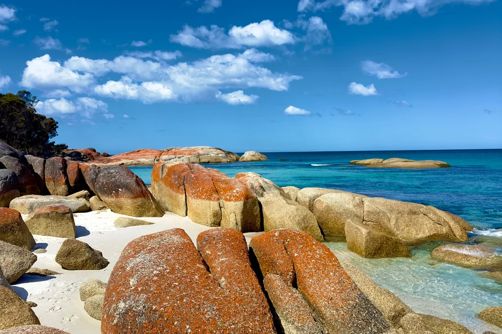
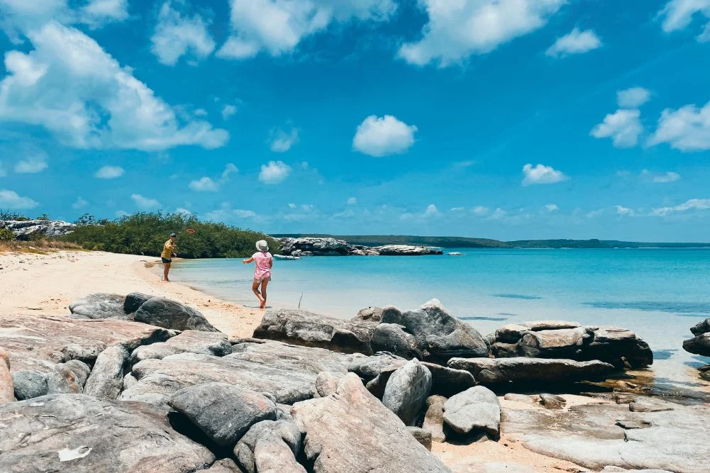
Beyond the historical and cultural sites, the region is a critical zone for biodiversity. Bremer Island, known as Dhambaliya to the Yolngu, is a 15-minute boat ride from the mainland and serves as a primary example of successful Indigenous-led conservation and tourism.
The island is home to the Banubanu Beach Retreat, a low-impact, solar-powered facility managed in partnership with the traditional owners. This site exemplifies the shift toward sustainable "blue economy" tourism in the Northern Territory. The environmental value of the area is highlighted by the presence of four species of sea turtles—green, flatback, hawksbill, and olive ridley—which utilize the white quartzite sands for nesting.
Furthermore, the East Bremer Islets have been designated as the Higginson Important Bird Area (IBA). This archipelago supports:
- Globally significant breeding populations of Bridled Terns and Roseate Terns.
- The only recorded breeding colony of Common Noddies in the Northern Territory.
- Substantial populations of Crested Terns.
The management of these lands by the Dhimurru Aboriginal Corporation ensures that tourism does not compromise the ecological integrity of these breeding grounds. Dhimurru rangers monitor the coastline for "ghost nets" (abandoned fishing gear) and manage visitor access through a strict permit system, which balances public recreation with environmental protection.
Economic and Logistical Framework
The economy of Nhulunbuy is currently in a state of transition. Long dependent on the bauxite mine and alumina refinery, the region is increasingly diversifying into government services, Indigenous art exports, and high-end cultural tourism.
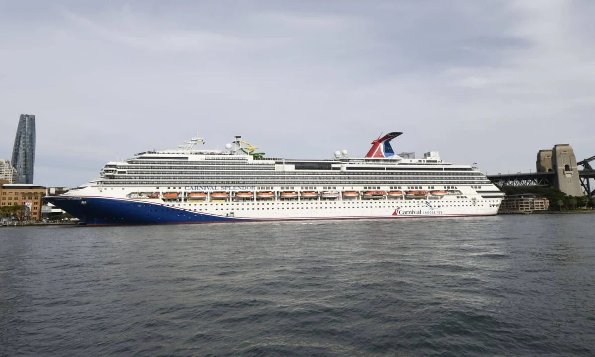
Access to the Gove Peninsula is primarily facilitated through Gove Airport, with daily flights from Darwin operated by Air North and Qantas. The cost of travel remains high, with airfares often exceeding $300 each way, which has historically limited the region to niche, high-value tourism rather than mass-market visitation.
The regulatory environment is governed by the Dhimurru Aboriginal Corporation and the Northern Land Council. Visitors are required to obtain access permits to enter recreational areas on Aboriginal land. These permits, costing approximately $39 for a three-day pass, provide the necessary revenue for land management and ensure that visitors adhere to cultural protocols, such as the prohibition of alcohol in certain areas and the protection of sacred sites.
Analysis: Implications for National Identity
The history and current state of Nhulunbuy and the Gove Peninsula challenge the traditional Australian foundation narrative. The existence of the Wurrwurrwuy stone arrangements and the documented Makassan trade prove that northern Australia was a site of international commerce and cultural synthesis long before the arrival of the First Fleet in Sydney Cove.
The success of the Buku-Larrnggay Mulka Centre and the Banubanu Beach Retreat indicates a viable model for regional development where Indigenous Australians maintain control over their intellectual property and ancestral lands. As the Northern Territory government continues to promote "Developing the North," the Gove Peninsula serves as a blueprint for how cultural preservation and environmental sustainability can coexist with economic growth.
For the Yolngu people, the preservation of the stone arrangements and the continued practice of their art forms are not merely nods to the past; they are active expressions of "Yothu Yindi"—the philosophy of balance and reciprocity between different groups. In a modern context, this translates to a community that welcomes outsiders while remains fiercely protective of its 40,000-year-old heritage and its 400-year-old international history.