
 Anjar Salim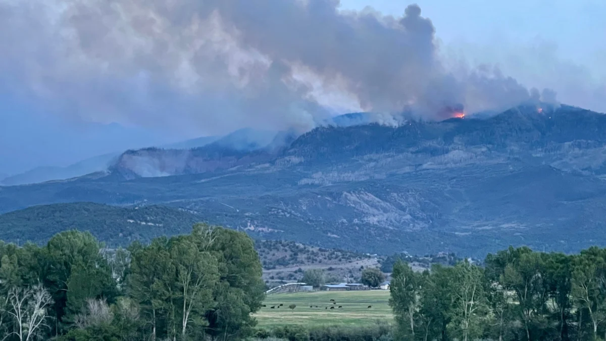
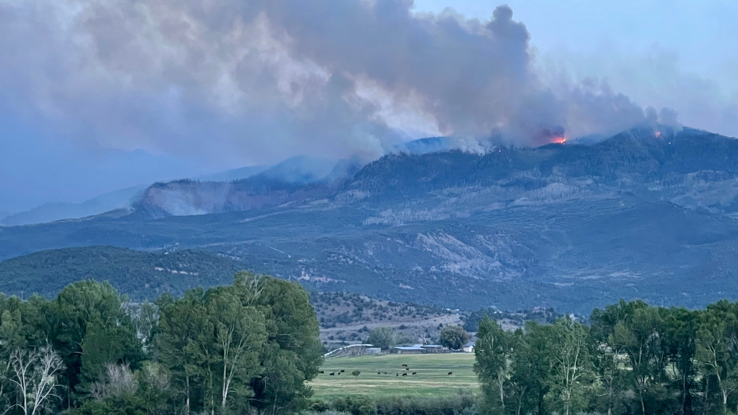
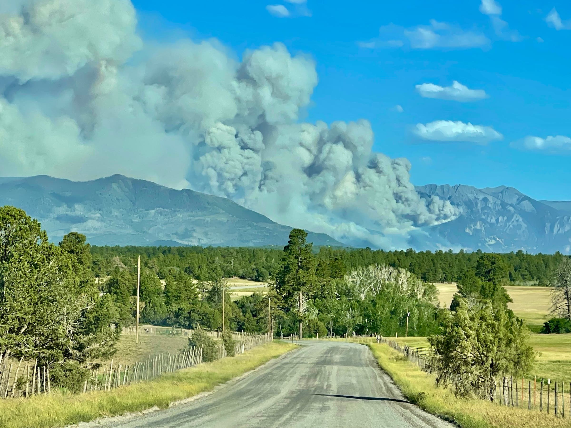
The Gold Mountain Fire, a massive wildfire that ignited in late June near the town of Ouray, has expanded to encompass more than 27,500 acres of the Uncompahgre National Forest, leaving local communities in a state of high alert and degrading air quality across the Uncompahgre Valley. As of July 6, 2026, incident commanders report that the blaze is only three percent contained, with fire behavior driven by a combination of rugged topography, parched vegetation, and persistent southwesterly winds. The fire now threatens critical infrastructure, including U.S. Route 550, and has forced a series of evacuations and pre-evacuation notices for residents in Ouray and Ridgway.
Chronology of the Gold Mountain Fire
The incident began on Saturday afternoon, June 27, 2026, when a small plume of smoke was detected on a rocky slope above U.S. Route 550, just outside the city limits of Ouray. Initial reports from emergency responders indicated the fire sparked below Gold Mountain Ranch. While the official cause remains under formal investigation by federal and state authorities, early evidence suggests a tree falling onto a power line may have served as the ignition source. Within hours, the fire demonstrated extreme behavior, with flames toppling burning trees down steep cliffs, a scene captured by residents and shared widely across social media platforms.
By the afternoon of June 28, the fire had grown to 572 acres. Recognizing the potential for a catastrophic event given the region’s current drought status, Colorado Governor Jared Polis declared a state of disaster emergency. This declaration authorized the deployment of additional state resources and cleared the way for the Colorado National Guard to assist in logistics and suppression efforts.
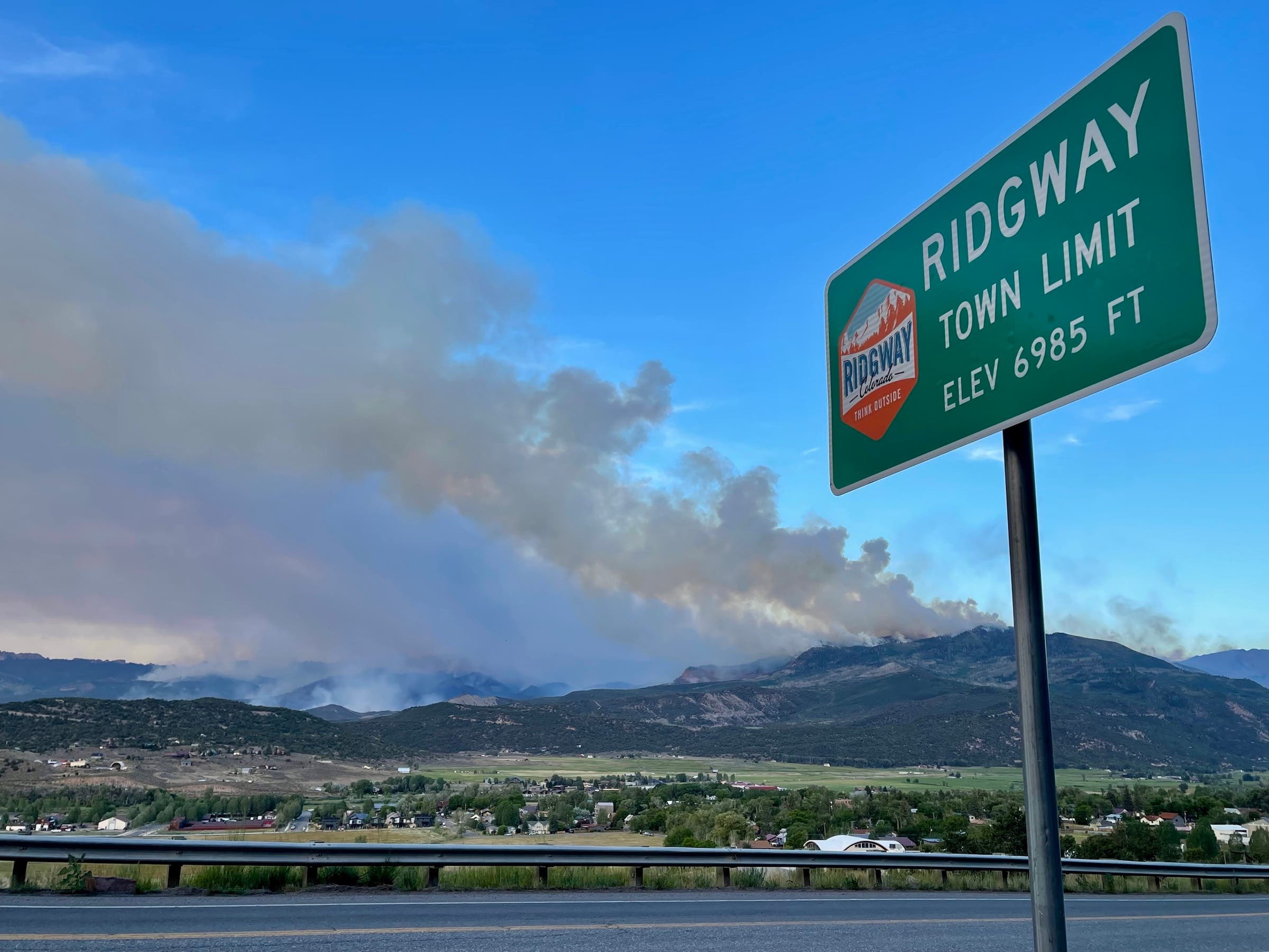
The situation escalated significantly on June 30. Fueled by high-altitude wind gusts, the wildfire surged to over 12,000 acres in a single 24-hour period. It moved eastward into the Cimarron Range, a subrange of the San Juan Mountains known for its jagged peaks and dense forests of aspen and spruce-fir. This expansion prompted the Ouray County Sheriff’s Office to issue immediate evacuation orders for several outlying residential areas and to place the towns of Ouray and Ridgway under pre-evacuation notices.
Firefighting Tactics and Resource Allocation
The response to the Gold Mountain Fire has evolved into a massive multi-agency operation involving the U.S. Forest Service, the Bureau of Land Management, the Colorado Division of Fire Prevention and Control, and various local fire departments. A Type 1 Incident Management Team has assumed command, establishing a base of operations at the Ouray County Fairgrounds.
Firefighters are facing significant tactical hurdles. The Cimarron Range is characterized by steep, inaccessible terrain that limits the effectiveness of ground crews. In many areas, it is too dangerous to insert "hotshot" crews directly onto the fire line due to the risk of being trapped by rapidly shifting winds. Consequently, the strategy has shifted toward a combination of indirect containment lines and heavy aerial bombardment.
Aerial assets have become the primary tool for slowing the fire’s advance. Large air tankers (LATs) and Very Large Air Tankers (VLATs) have been dropping thousands of gallons of pink fire retardant along the ridges to create fuel breaks. Simultaneously, Type 1 "K-Max" and Chinook helicopters are utilizing Ridgway Reservoir as a water source, performing continuous "dip-and-drop" cycles to cool hotspots near the fire’s perimeter. Despite these efforts, officials emphasize that aerial suppression can only slow a fire of this magnitude; full containment will require significant "boots on the ground" and, ultimately, a season-ending weather event such as sustained heavy rainfall or early autumn snow.
Environmental and Topographical Impact
The Gold Mountain Fire is currently ravaging some of the most ecologically sensitive and visually iconic landscapes in Southwest Colorado. The Cimarron Range, including landmarks such as Baldy Peak and the areas surrounding Owl Creek Pass, has seen extensive crown fires—blazes that jump from treetop to treetop, often killing the entire forest stand.
The Uncompahgre National Forest is home to a diverse array of wildlife, including elk, mule deer, black bears, and mountain lions. The rapid spread of the fire has displaced these populations, forcing them into lower elevations and potentially closer to human settlements. Furthermore, the Cimarron River and its tributaries, which are renowned for their trout populations, are at risk. While the fire itself poses a direct threat, the long-term danger to these aquatic ecosystems lies in the aftermath. The loss of vegetation on steep slopes leads to soil destabilization. When the monsoon rains eventually arrive, the lack of ground cover often results in massive mudslides and debris flows, which can choke rivers with ash and sediment, leading to significant fish die-offs and long-term damage to water quality.
Public Health and the "New Normal" for Residents
For the approximately 5,000 residents of Ouray County, the fire has become a constant, suffocating presence. The "smoke sink" phenomenon—where cold air at night carries smoke down from the mountains into the valleys—has led to hazardous air quality levels in Ridgway and Ouray. Health officials have issued advisories urging vulnerable populations, including the elderly, children, and those with respiratory conditions, to remain indoors and use high-efficiency particulate air (HEPA) filters.
Despite the proximity of the flames, local communities have attempted to maintain a semblance of normalcy. Ouray proceeded with its traditional Fourth of July celebrations, though the annual fireworks display was canceled due to the extreme fire danger and existing Stage 2 fire restrictions. In Ridgway, the summer concert series continued in the town park, creating a surreal scene where families gathered to listen to music while the glow of the fire was visible on the nearby horizon.
The American Red Cross has established an evacuation shelter at Ridgway Secondary School to assist those displaced by the fire. While many residents have found lodging with friends or in local hotels, the shelter remains a critical resource for those needing food, medical supplies, and up-to-date information on the fire’s progression.
Economic Implications for Southwest Colorado
The timing of the Gold Mountain Fire is particularly devastating for the local economy. July represents the peak of the summer tourism season for Ouray—often called the "Switzerland of America"—and Ridgway. The region relies heavily on outdoor recreation, including jeep tours, hiking, and mountain biking.
The closure of large swaths of the Uncompahgre National Forest and the intermittent closures of U.S. Route 550 have led to a sharp decline in visitor numbers. U.S. 550, part of the "Million Dollar Highway," is a vital artery for tourism and commerce, connecting the San Juan Mountains to the northern Western Slope. Extended closures not only prevent tourists from reaching local businesses but also disrupt the supply chains for regional goods.
Local business owners have expressed concern over the long-term "stigma" of the fire. Even after the flames are extinguished, the blackened hillsides and the risk of mudslides may deter visitors who come for the region’s pristine natural beauty. Economic analysts suggest that the recovery for the hospitality and outdoor guiding sectors could take years, depending on the extent of the damage to popular trail systems like the Ouray Perimeter Trail and the access roads to Silver Jack Reservoir.
Analysis of Long-Term Risks and Climate Context
The Gold Mountain Fire is not an isolated incident but part of a broader trend of increasingly frequent and intense wildfires across the American West. According to data from the National Interagency Fire Center (NIFC), the wildfire season in the Rockies has extended by nearly 80 days since the 1970s. This shift is attributed to a combination of historical fire suppression policies, which allowed for the buildup of "ladder fuels," and a warming climate that has led to earlier snowmelt and more prolonged periods of high Vapor Pressure Deficit (VPD).
The 2026 fire season follows a particularly dry winter in the San Juans, leaving the forest "primed" for ignition. The Gold Mountain Fire’s behavior mirrors that of the 2025 wildfire in the Black Canyon of the Gunnison National Park, where rapid growth and high-intensity burning challenged even the most experienced fire management teams.
As the Gold Mountain Fire continues to burn, the focus of state and federal agencies is beginning to shift toward Burned Area Emergency Response (BAER). BAER teams will be tasked with assessing the burned landscape to identify areas at high risk for post-fire flooding and erosion. This involves "mulching" steep slopes with straw or wood chips to provide temporary stability and installing debris barriers to protect U.S. Route 550.
Conclusion and Current Outlook
As of the latest briefing on July 6, the Gold Mountain Fire remains a "dynamic and dangerous" incident. Incident Commander Sarah Jenkins noted that while crews have been successful in protecting structures in the immediate vicinity of Gold Mountain Ranch, the eastern flank remains uncontained and continues to move deeper into the wilderness.
"Our priority remains the safety of the public and our firefighters," Jenkins stated. "We are working against the clock and the weather. Until we see a significant change in the wind patterns or receive moisture, this will remain a long-term event."
For the residents of the Uncompahgre Valley, the fire is a sobering reminder of the volatility of life in the wildland-urban interface. As they monitor the "Watch Duty" app for the latest evacuation updates and watch the orange glow of the Cimarrons at night, the community remains resilient, yet wary of the permanent changes this fire will leave on the landscape they call home. The ultimate impact of the Gold Mountain Fire—on the forest, the economy, and the local psyche—will only be fully understood once the smoke finally clears.


 Chandra Hamzah
 Tatiana Tantri Indah Sari
 Budi Mulyono
 Lukman Taruna Persada Ramadan