The Mary River Wetlands, situated approximately 150 kilometers east of Darwin, represent one of the most ecologically significant and topographically diverse regions in Australia’s Northern Territory. Known for harboring the highest concentration of estuarine (saltwater) crocodiles in the world, the Mary River National Park serves as a critical sanctuary for biodiversity, a premier destination for recreational angling, and a living monument to Australian exploration history. While Darwin’s "jumping crocodile" cruises offer a curated glimpse into the lives of these apex predators, the Mary River system provides a more raw, immersive experience, characterized by vast floodplains, lily-fringed lagoons, dense monsoon forests, and tidal reaches that connect the inland waterways to the Arafura Sea.
Ecological Composition and the Mary River Barrage
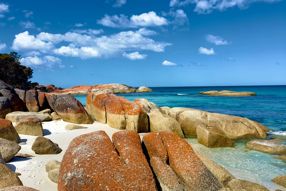
The Mary River National Park is a complex mosaic of ecosystems. Unlike many other river systems in the Top End, the Mary River does not have a single deep-water channel leading to the ocean; instead, it spills across a vast coastal plain. This creates a network of ephemeral and permanent wetlands that support a staggering array of flora and fauna. To the north, the landscape is dominated by mangroves and tidal flats, while further inland, the environment shifts to freshwater billabongs and paperbark swamps.
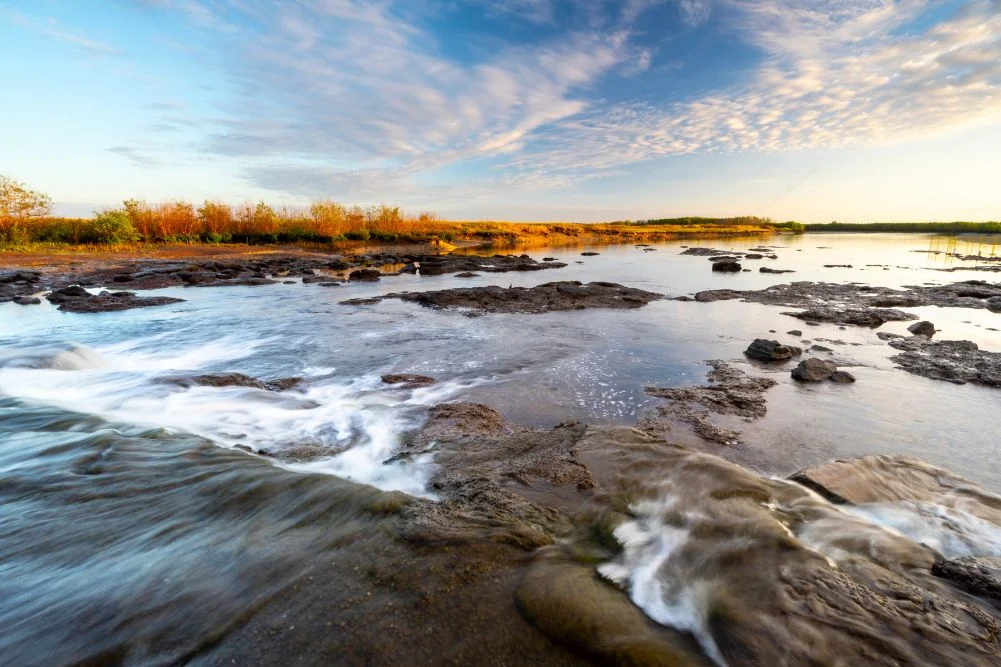
A pivotal moment in the environmental management of the region occurred in the late 1980s with the construction of the Shady Camp barrage. This concrete structure was designed as a management tool to mitigate the "saltwater intrusion" that threatened the freshwater integrity of the upstream wetlands. During the mid-20th century, feral buffalo populations had decimated the natural levees of the river, allowing saltwater to seep into freshwater habitats, killing off large stands of melaleuca (paperbark) trees. The barrage serves as a physical barrier to keep the saline tides of the Arafura Sea from contaminating the inland freshwater pools, though its effectiveness is often challenged by the sheer force of nature during the monsoon season.
Despite its primary function as an environmental levee, the barrage has become a focal point for both wildlife and human activity. It serves as a transit point for estuarine crocodiles moving between salt and fresh water and acts as a biological bottleneck for migratory fish species.
The Seasonal Cycle and the Barramundi Run-off
The rhythm of life in the Mary River Wetlands is dictated entirely by the monsoonal cycle. The "Wet Season," typically spanning from November to April, sees the region inundated with massive rainfall, often resulting in the closure of park access roads. As the rains cease and the "Dry Season" begins (May to October), the "run-off" occurs. This phenomenon is a cornerstone of the Northern Territory’s recreational fishing industry, which contributes an estimated $100 million annually to the local economy.
During the run-off, water recedes from the floodplains and drains into the river channels. This movement carries high concentrations of nutrients and baitfish, such as mullet, into the main river systems. Large predators, most notably the barramundi (Lates calcarifer), congregate at these drainage points—particularly the Shady Camp barrage—to feast on the outgoing bounty. This creates a high-intensity environment where anglers stand in close proximity to saltwater crocodiles, both vying for the same prize.
Data from the Northern Territory Government indicates that the Mary River system is one of the most productive barramundi fisheries in the region. In addition to barramundi, the wetlands support populations of spotted saratoga, sooty grunter, and tarpon. The convergence of these species makes the Mary River a global destination for sport fishing, though the presence of large crocodiles necessitates a high degree of situational awareness and adherence to "Crocwise" safety protocols.
Historical Significance: The Legacy of John McDouall Stuart
Beyond its biological importance, the Mary River holds a prominent place in the annals of Australian exploration. Shady Camp is named in honor of John McDouall Stuart, one of Australia’s most accomplished inland explorers. In 1862, Stuart led the first successful European expedition to cross the Australian continent from south to north and return, passing through the Mary River region.
Stuart’s journey, which covered approximately 3,540 kilometers from Port Augusta to the northern coast, was a feat of endurance that eventually paved the way for the Australian Overland Telegraph Line. After months of traversing the arid interior, Stuart and his party reached the Mary River, utilizing the shade of its banks to recuperate before making the final push to the sea at Chambers Bay. Today, the Point Stuart Wilderness Lodge and the Stuart’s Tree Memorial Cairn serve as landmarks for those following the "Stuart Highway" of history. Access to these sites, particularly Point Stuart, remains highly dependent on seasonal road conditions, often requiring high-clearance 4WD vehicles.
Biodiversity and Avian Populations
The Mary River Wetlands are recognized internationally under the Ramsar Convention as a wetland of global importance. This designation is largely due to its role as a breeding ground and refuge for waterbirds. During the dry season, as water sources elsewhere in the Top End disappear, the permanent billabongs of the Mary River—such as Mistake Billabong and Rockhole Billabong—become crowded with avian life.
Observers frequently document the "Jesus bird," or Comb-crested Jacana, which utilizes elongated toes to walk across floating lily pads. The region is also a stronghold for the Magpie Goose, with populations sometimes numbering in the hundreds of thousands. Other notable species include the Jabiru (Australia’s only stork), the Nankeen Night Heron, and the Rainbow Bee-eater. The interaction between these species and the environment is a delicate balance; for instance, the Agile Wallabies that graze on the grassy verges of the wetlands must constantly remain vigilant of the crocodiles lurking just beneath the surface of the glassy lagoons.
Infrastructure and Tourism Management
To accommodate the growing number of domestic and international visitors, the Northern Territory Parks and Wildlife Commission has developed several key sites within the park:
- Shady Camp: Known primarily for its boat ramp and the barrage, it offers rustic camping facilities. It is a high-activity zone for fishing and crocodile spotting.
- Couzens Lookout: Located on the banks of a picturesque billabong, this site offers a more tranquil camping experience with elevated views of the sunset over the wetlands. It features wheelchair-accessible facilities and is a preferred spot for those seeking to avoid the high-density crowds of Shady Camp.
- Monsoon Forest Walks: The Jimmy Creek and Brian Creek walks provide visitors with access to the dense, shaded forests that fringe the wetlands. These areas are characterized by giant banyan trees and are home to the orange-footed scrub fowl, known for building massive nesting mounds.
- Point Stuart Wilderness Lodge: A private enterprise within the vicinity of the park, the lodge provides a higher tier of accommodation, including safari tents and lodge rooms, alongside guided fishing and wetland cruises.
Current park fees are structured to support the maintenance of these remote facilities. As of the current season, entry costs are approximately $10 per day for adults, with multi-day passes available for extended stays.
Conservation Challenges and Implications
The future of the Mary River Wetlands faces several significant challenges. Climate change and the resulting sea-level rise pose a direct threat to the freshwater ecosystems. As sea levels rise, the Shady Camp barrage may eventually be overtopped more frequently by tidal surges, leading to the permanent salinization of upstream billabongs. This would fundamentally alter the habitat, likely resulting in the loss of melaleuca forests and the displacement of freshwater-dependent species.
Furthermore, invasive species continue to require active management. Mimosa pigra, a woody weed of national significance, has historically threatened to choke the floodplains, while feral pigs and buffalo cause soil erosion and damage to native vegetation.
From a management perspective, the Northern Territory government must balance the economic benefits of tourism and fishing with the preservation of a sensitive wilderness. The "Crocwise" program remains a vital public safety initiative, as the increasing proximity of humans to a growing crocodile population presents a constant risk.
Conclusion and Visitor Logistics
For those planning a visit to the Mary River Wetlands, timing and preparation are essential. The transition between the wet and dry seasons (April and May) offers the best opportunities for fishing, while the peak dry season (June to August) provides the most comfortable climate for camping and wildlife observation.
Access is via the Arnhem Highway, with Shady Camp located approximately 50 kilometers north of the highway via Point Stuart Road. Visitors are advised to carry ample drinking water, mosquito repellent, and recovery gear for vehicles. As a primitive and powerful landscape, the Mary River Wetlands offer a profound look at the natural forces that shape the Australian Top End—a place where history, ecology, and recreation intersect in one of the continent’s last great wildernesses.