As the National Park Service (NPS) continues to see record-breaking visitation numbers across its 429 units, the logistical challenges of securing high-quality camping accommodations have become a central concern for outdoor enthusiasts. In 2023 alone, the NPS reported over 325 million recreation visits, a figure that underscores the immense pressure placed on federal infrastructure, particularly established campgrounds. While the digital transformation of the reservation process through platforms like Recreation.gov has streamlined access, it has also introduced a layer of abstraction that can lead to subpar experiences for those who do not employ rigorous site-selection strategies.
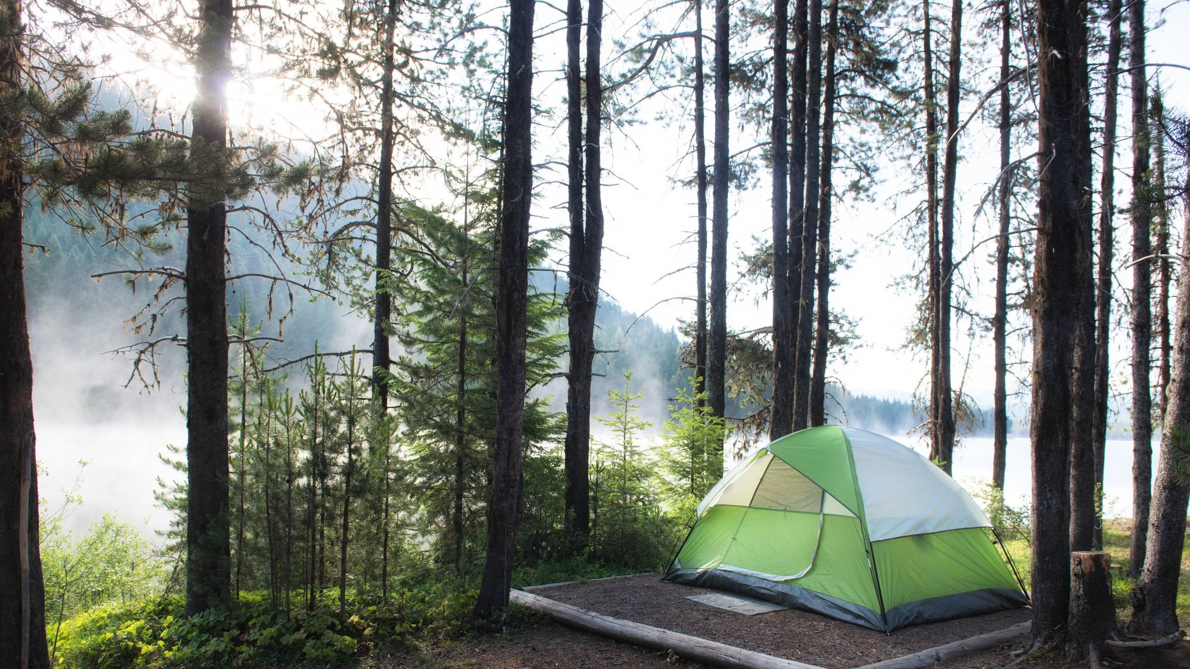
The disparity between a digital map and physical reality is often stark. At high-traffic locations such as Elkmont Campground in Great Smoky Mountains National Park—the most visited national park in the United States—the difference between a secluded, tree-lined site and a gravel pad adjacent to a high-traffic restroom facility is often a matter of informed research rather than luck. Elkmont, known for its proximity to the Little River and its historical significance, serves as a primary example of how high-density camping environments require sophisticated planning to ensure privacy and environmental comfort.
The Evolution of the National Park Reservation Ecosystem
The methodology for securing a campsite has shifted dramatically over the last two decades. Historically, national park camping was often managed through a "first-come, first-served" basis or through fragmented mail-in and telephone systems. The introduction of the National Recreation Reservation Service (NRRS), and its subsequent evolution into the current Recreation.gov platform, centralized the process. Today, Recreation.gov manages reservations for 12 federal agencies, covering more than 113,000 individual sites and activities.
This centralization has democratized access in one sense but has also created a hyper-competitive environment. For premier locations, the reservation window opens exactly six months in advance at 10:00 AM ET on a rolling basis. Data suggests that the most desirable sites in parks like Yosemite, Zion, and the Great Smoky Mountains are often fully booked within seconds of becoming available. This "digital land rush" necessitates a chronological approach to planning that begins half a year before the actual excursion.
Chronology of a Successful Reservation Strategy
A successful camping expedition is built on a timeline that begins long before the tent is pitched. Industry experts and veteran campers suggest a three-phase approach to the chronological planning process.
Phase one occurs six to seven months prior to the trip. During this period, travelers must identify their target campground and analyze the specific booking window. Because different federal agencies may have varying release schedules, verifying the exact second the "Reserve Now" button becomes active is critical.
Phase two involves the granular research of specific site numbers. This is the stage where many campers fail, often selecting a site based solely on its proximity to a trailhead or water source without accounting for topography or foot traffic patterns. Between five and six months out, prospective visitors should utilize satellite imagery and third-party review databases to cross-reference the Recreation.gov maps.
Phase three is the execution of the reservation. This requires a synchronized effort, often involving multiple devices or users, to secure a site the moment the window opens. For those who miss this window, a secondary chronology begins: the monitoring of cancellations. Statistics indicate that approximately 15% to 20% of reservations are cancelled or modified before the arrival date, providing a "second chance" for diligent planners.
Supporting Data: Visitation Trends and Infrastructure Strain
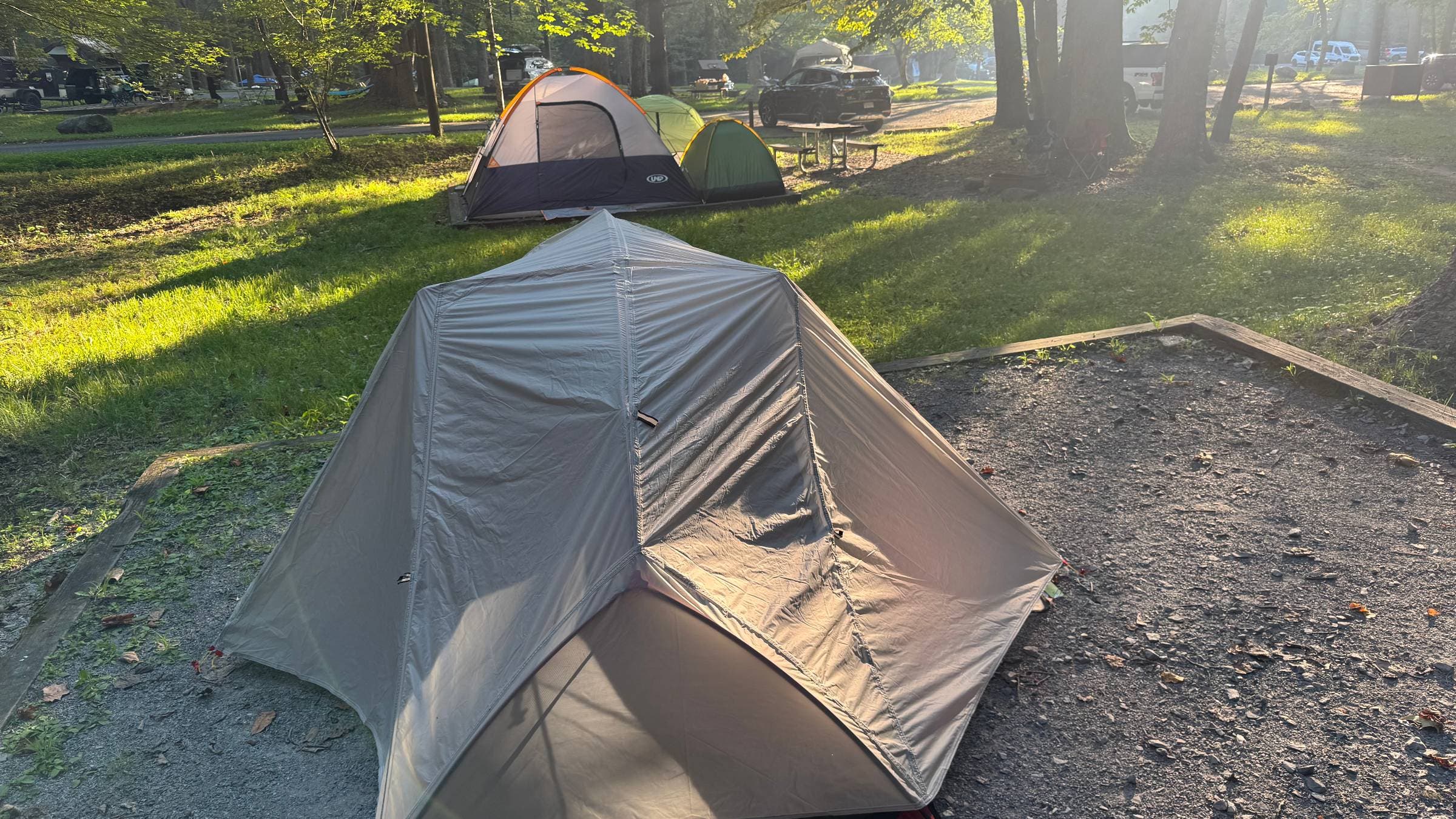
The urgency for precise site selection is driven by the sheer volume of users. According to NPS data, the Great Smoky Mountains National Park saw over 13.3 million visitors in 2023. Elkmont Campground, as one of the largest facilities in the park, offers over 200 sites. However, the density of these sites varies. In high-demand loops, the distance between tent pads can be as little as 15 feet, leading to issues with noise pollution and a lack of visual privacy.
Furthermore, the rise of "walk-in" sites—those that require gear to be carried a short distance from a parking area—has traditionally been seen as a solution for those seeking seclusion. However, recent infrastructure audits show that even these sites are being integrated into higher-density designs to accommodate more visitors. The lack of natural buffers, such as rhododendron thickets or topographical shifts, means that a "walk-in" designation no longer guarantees a wilderness-like experience.
Temperature regulation is another data-driven factor in site selection. Campsites lacking significant canopy cover can experience daytime temperatures up to 10 to 15 degrees Fahrenheit higher than those shaded by old-growth timber. For summer campers in the Southeast or the desert Southwest, this data point is the difference between a viable trip and a hazardous heat-related event.
Navigating Digital Tools and User-Generated Intelligence
To mitigate the risks of "blind booking," modern campers are increasingly turning to a triad of digital resources: official maps, community reviews, and specialized databases.
- Recreation.gov Ratings and Reviews: While often overlooked, the platform includes a "Ratings and Reviews" tab for most campgrounds. Advanced users filter these reviews for specific site numbers. These testimonials often provide critical "beta" on whether a site is "off-camber" (uneven), prone to flooding, or located directly under a streetlamp.
- Third-Party Databases: Platforms like TheDyrt and Campendium provide a secondary layer of verification. TheDyrt, in particular, has grown into a massive repository with over 7 million user-submitted photos and reviews. These photos are vital because they provide a 360-degree view that official NPS photos often omit, showing the proximity of neighboring sites and the condition of the fire ring and picnic table.
- Satellite and Topographic Overlays: Using Google Earth or specialized hiking apps like Gaia GPS allows campers to see the actual density of the forest canopy and the proximity of the site to features like rivers or cliff edges, which may not be accurately scaled on a standard campground map.
Official Perspectives and Management Responses
The National Park Service and its contractors are not unaware of the challenges posed by high-density camping. In various "State of the Park" reports, administrators have noted the difficulty of balancing "maximum access" with "quality of experience."
While the NPS does not officially endorse third-party review sites, park rangers frequently acknowledge that informed visitors are generally more satisfied and more likely to adhere to "Leave No Trace" principles. An NPS spokesperson recently noted that when campers are unhappy with their site—due to proximity to facilities or neighbors—they are more likely to attempt to "create" their own space by moving fire rings or clearing brush, which causes long-term ecological damage. Therefore, accurate site selection is not just a matter of personal comfort; it is a component of land stewardship.
Management responses have included the implementation of "site-specific" reservations in almost all major parks, replacing the older "loop-specific" system where a camper would book a spot in a loop but not know their exact site until arrival. This change was specifically designed to give the consumer more agency and to reduce congestion at check-in stations.
Broader Impact and Implications for the Future of Public Lands
The struggle to find a private, high-quality campsite within the national park system reflects a broader tension in American land management. As the population grows and the "outdoor economy" continues to expand—contributing over $1 trillion to the U.S. GDP annually—the "civilized" camping experience is becoming increasingly urbanized.
The implications of this trend are two-fold. First, there is a growing "digital divide" in outdoor access. Those with high-speed internet, the ability to plan six months in advance, and the technical literacy to navigate multiple databases are securing the "premium" public land experiences, while spontaneous or less tech-savvy travelers are relegated to the least desirable sites.
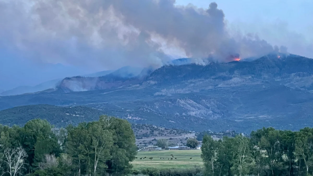
Second, the overcrowding of established campgrounds is driving more users toward "dispersed camping" on Forest Service or Bureau of Land Management (BLM) lands. While this relieves pressure on national parks, it moves the impact to areas with fewer facilities and less oversight, often leading to increased wildfire risks and waste management issues.
Ultimately, the "worst campsite" scenario is a symptom of a successful but strained public land system. By treating the reservation process as a research-intensive project rather than a simple transaction, visitors can ensure that their time in the national parks remains a restorative experience. The shift from passive consumer to active researcher is now a prerequisite for anyone seeking to find silence and stars in an increasingly crowded wilderness.