The Oregon National Historic Trail, a 2,170-mile corridor stretching from the Missouri River to the Willamette Valley, remains one of the most significant landmarks of American westward expansion. In the summer of 2025, a comprehensive retracing of this historic route revealed a landscape in transition—not only in its physical geography but in the very narrative used to describe its legacy. While the trail was once celebrated primarily as a saga of pioneer triumph over a "wild" frontier, modern interpretations by the National Park Service (NPS) and the Bureau of Land Management (BLM) are increasingly focused on a more nuanced, factual appraisal of the trail’s impact on Indigenous populations and the harsh realities of 19th-century migration.
Historical Context and the Mechanics of Migration
The Oregon Trail served as the primary artery for approximately 400,000 emigrants between the mid-1840s and the late 1860s. Contrary to popular myths popularized by mid-20th-century media and early educational software, the majority of these travelers were not wealthy adventurers but farming families and tradespeople from the Midwest and South. The migration was largely fueled by economic incentives, specifically the Homestead Act of 1862 and earlier land grants, which encouraged white settlement to secure U.S. territorial claims against British fur companies and Indigenous tribes.

The journey typically began in "jumping-off" towns like Independence, Missouri. Emigrants arrived via steamboats on the Missouri River before purchasing essential supplies: sturdy wagons, teams of oxen, and hundreds of pounds of flour, bacon, and coffee. The logistical undertaking was immense, and for many, the reality of the trek proved far deadlier than anticipated.
The Great Plains: A Landscape of Scarcity and Disease
As the trail moves into Western Nebraska, the landscape shifts from the fertile tallgrass prairies to the arid high plains. Historically, this region presented the first major environmental challenge for wagon trains. Except for wooded river bottoms, the plains were largely devoid of timber, forcing emigrants to burn "buffalo chips" (dried bison dung) for fuel.
Data from the Oregon-California Trails Association suggests that the greatest threat to pioneers was not conflict with Native Americans, but disease. Between 1840 and 1860, an estimated 25,000 people died on the trail—a mortality rate of roughly 6 percent. The majority of these deaths occurred on the Great Plains due to cholera and dysentery, caused by the contamination of limited water sources. As thousands of people and livestock congregated at specific springs and creeks, such as those found at Ash Hollow, fecal bacteria spread rapidly through the camps.
Today, the physical evidence of this mass migration remains visible in the form of wagon ruts. At sites like Windlass Hill, the earth is permanently scarred where thousands of wagons funneled into narrow passes. These ruts are more than just historical curiosities; they represent the environmental degradation caused by the sudden influx of nearly half a million people into a delicate ecosystem.
Wyoming and the "Camp of Sacrifice"
As the trail ascends into the Rocky Mountains of Wyoming, the challenges shifted from disease to terrain and logistics. Fort Laramie National Historic Site, a former fur-trading post turned military garrison, served as a critical resupply point. It was also known colloquially as "Camp Sacrifice." By the time emigrants reached this point—four to six weeks into their journey—many realized their wagons were over-encumbered. To lighten their loads for the mountain crossings ahead, travelers abandoned massive amounts of property, including stoves, anvils, and heirloom furniture, littering the trail with the debris of their former lives.
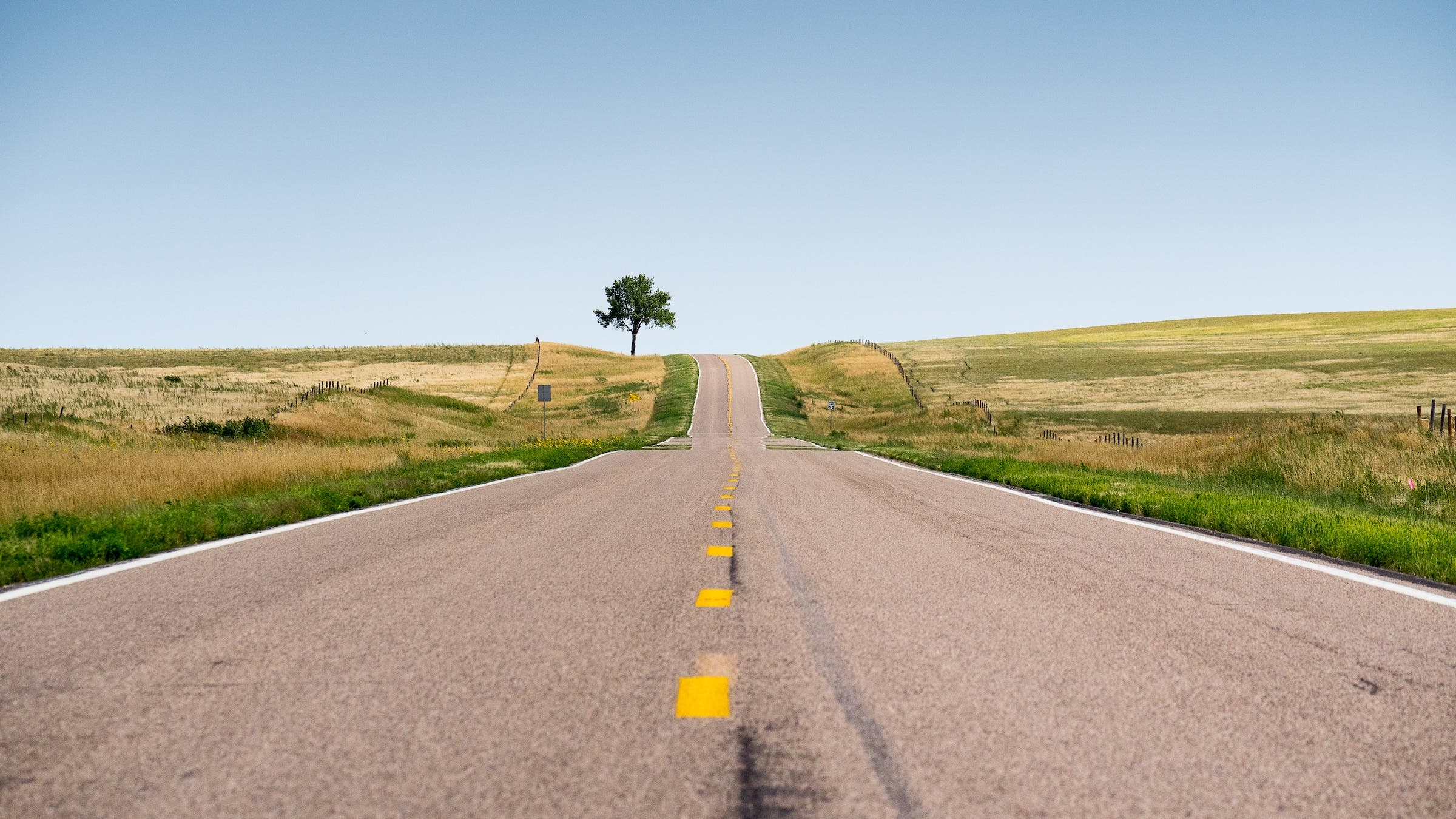
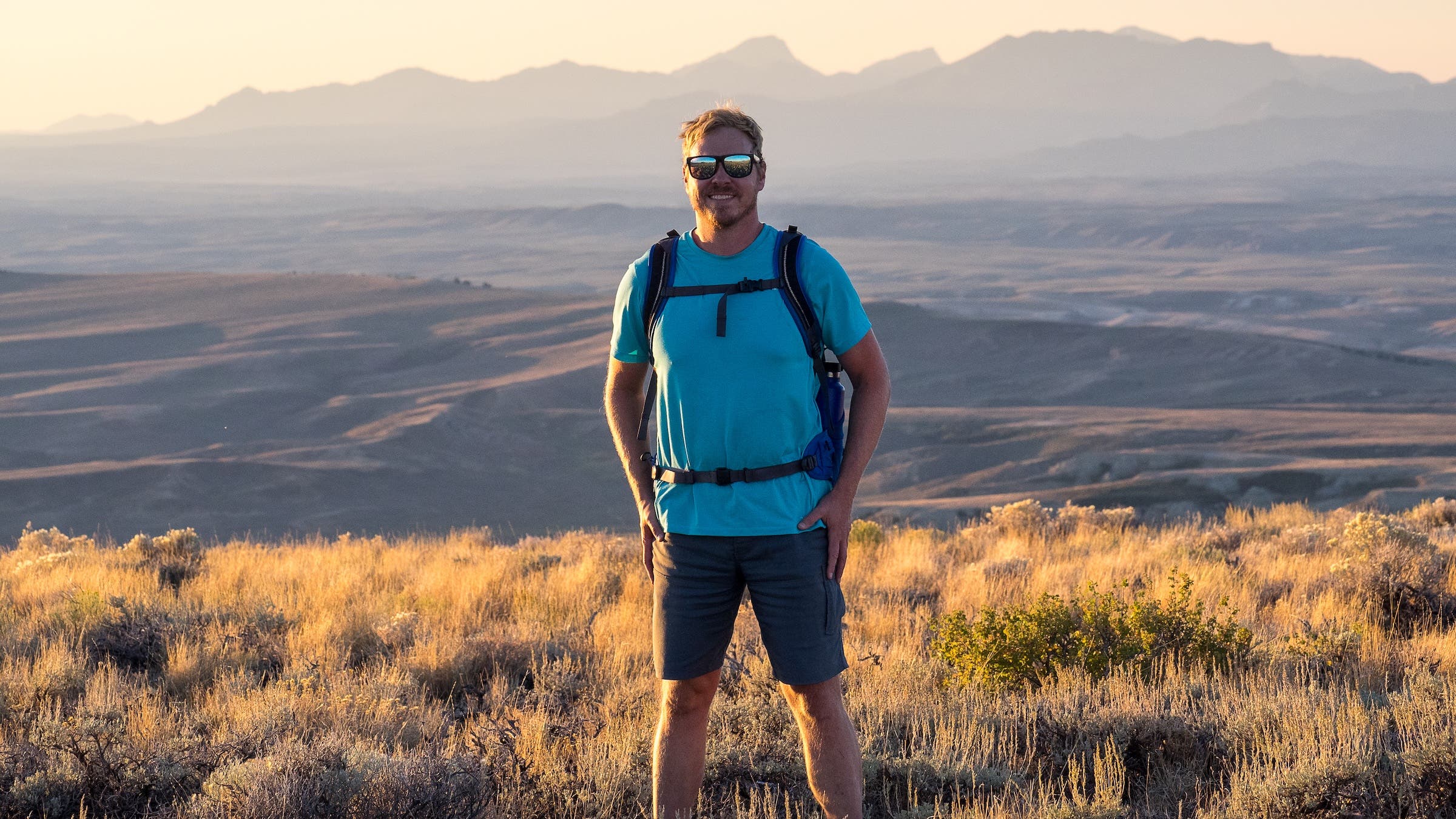
The Wyoming segment also highlights the geological landmarks that served as navigational beacons: Independence Rock, Devil’s Gate, and Split Rock. For modern travelers, this region has transitioned into a hub for outdoor recreation. The Wind River Range, which pioneers avoided due to its jagged peaks, now serves as a premier destination for hiking, climbing, and backpacking. However, the historical significance remains preserved at South Pass, the gradual continental divide crossing that made wagon travel possible.
Idaho: Volcanic Obstacles and Cultural Friction
The Snake River Plain in Idaho introduced a new set of difficulties: volcanic basalt and extreme heat. The trail here was dictated by geology, as the North American plate’s movement over a volcanic hotspot (the same one currently under Yellowstone) created a rugged, unforgiving terrain.
By 1862, increasing pressure on Indigenous resources led to heightened tensions. At Massacre Rocks State Park, a skirmish between emigrants and Shoshone-Bannock tribes resulted in several deaths and prompted many wagon trains to divert onto the Goodale Cutoff. This northern alternate route skirted the edge of the Craters of the Moon lava fields.
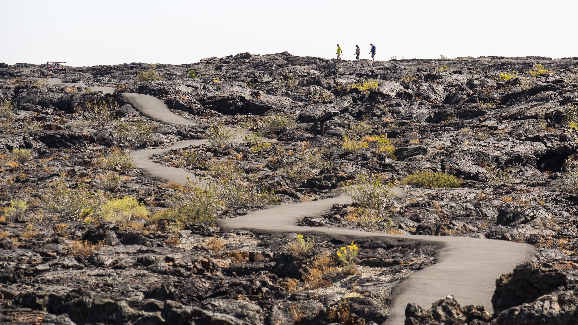
Today, Craters of the Moon National Monument and Preserve protects over 1,100 square miles of this volcanic landscape. While it remains a remote destination, it offers a stark reminder of the physical barriers that defined the emigrant experience. The regional history is also being recontextualized in cities like Pocatello and Boise, where the focus is shifting toward the perspective of the Northern Shoshone and other tribes whose traditional lifeways were disrupted by the trail.
Oregon: The Blue Mountains and the End of the Road
Upon crossing the Snake River into present-day Oregon, pioneers still faced 350 miles of arduous travel. The Blue Mountains presented a final high-altitude obstacle. Modern visitors can explore this region via the Umatilla Rim Trail, which offers a glimpse into the Pacific Northwest forests that signaled the end of the high desert.
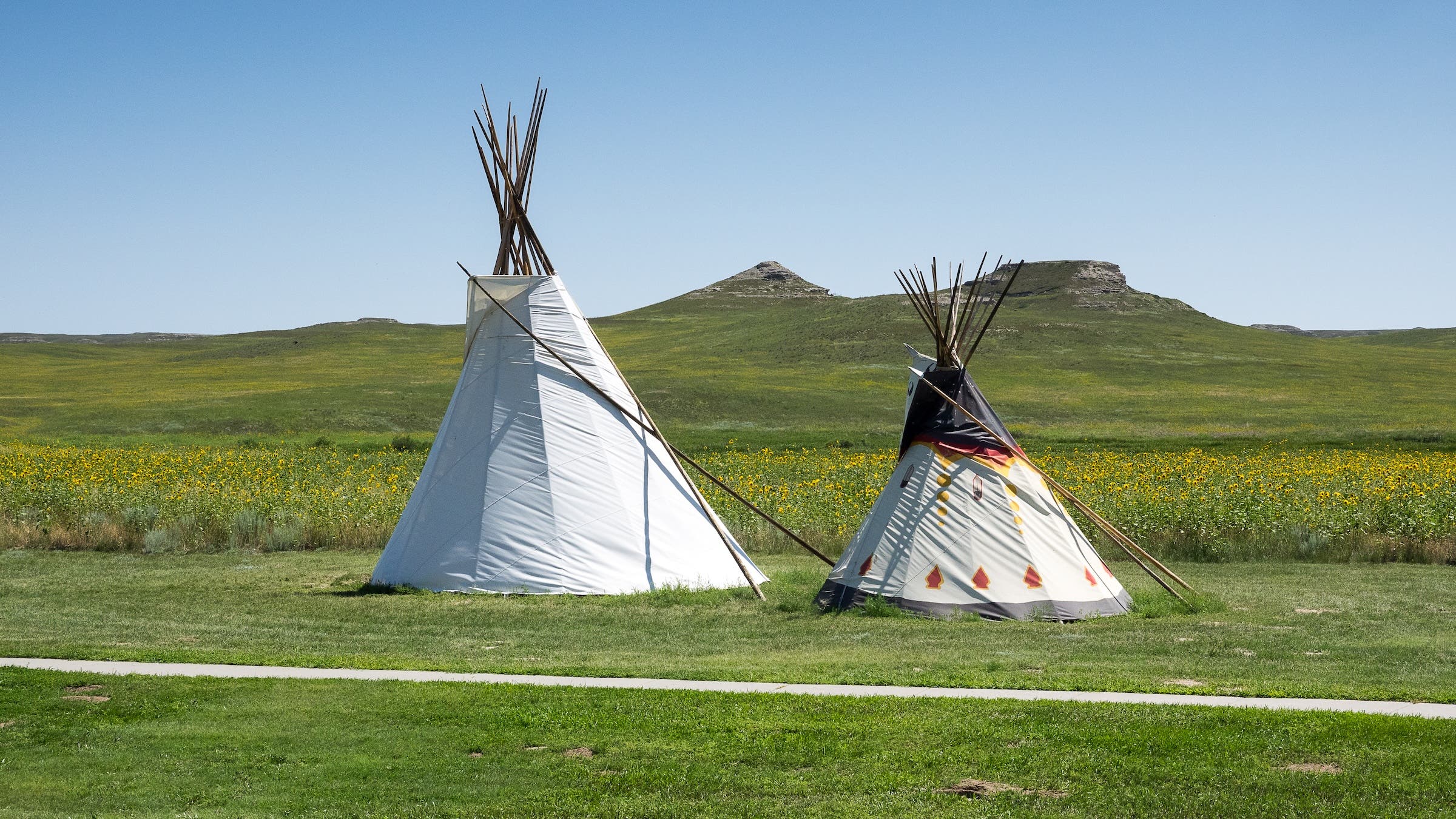
In Pendleton, Oregon, the Tamástslikt Cultural Institute provides what is arguably the most critical modern addition to the Oregon Trail narrative. Operated by the Confederated Tribes of the Umatilla Indian Reservation, the institute interprets westward expansion from the perspective of the Cayuse, Umatilla, and Walla Walla people. This "reverse" perspective highlights how the "opening" of the West was, for Indigenous people, an era of catastrophic loss due to disease, land theft, and forced assimilation.
The journey historically concluded in the Willamette Valley, but not before the treacherous passage through the Columbia River Gorge. Before the construction of the Barlow Toll Road around Mount Hood, emigrants were forced to dismantle their wagons and float down the Columbia River—a journey that claimed many lives in the river’s rapids.
Broader Impact and Modern Implications
The contemporary retracing of the Oregon Trail reflects a broader movement in American historiography to reconcile national myths with historical facts. The National Park Service has begun integrating "Indigenous Voices" into its interpretive displays, moving away from the "Manifest Destiny" rhetoric of the past.
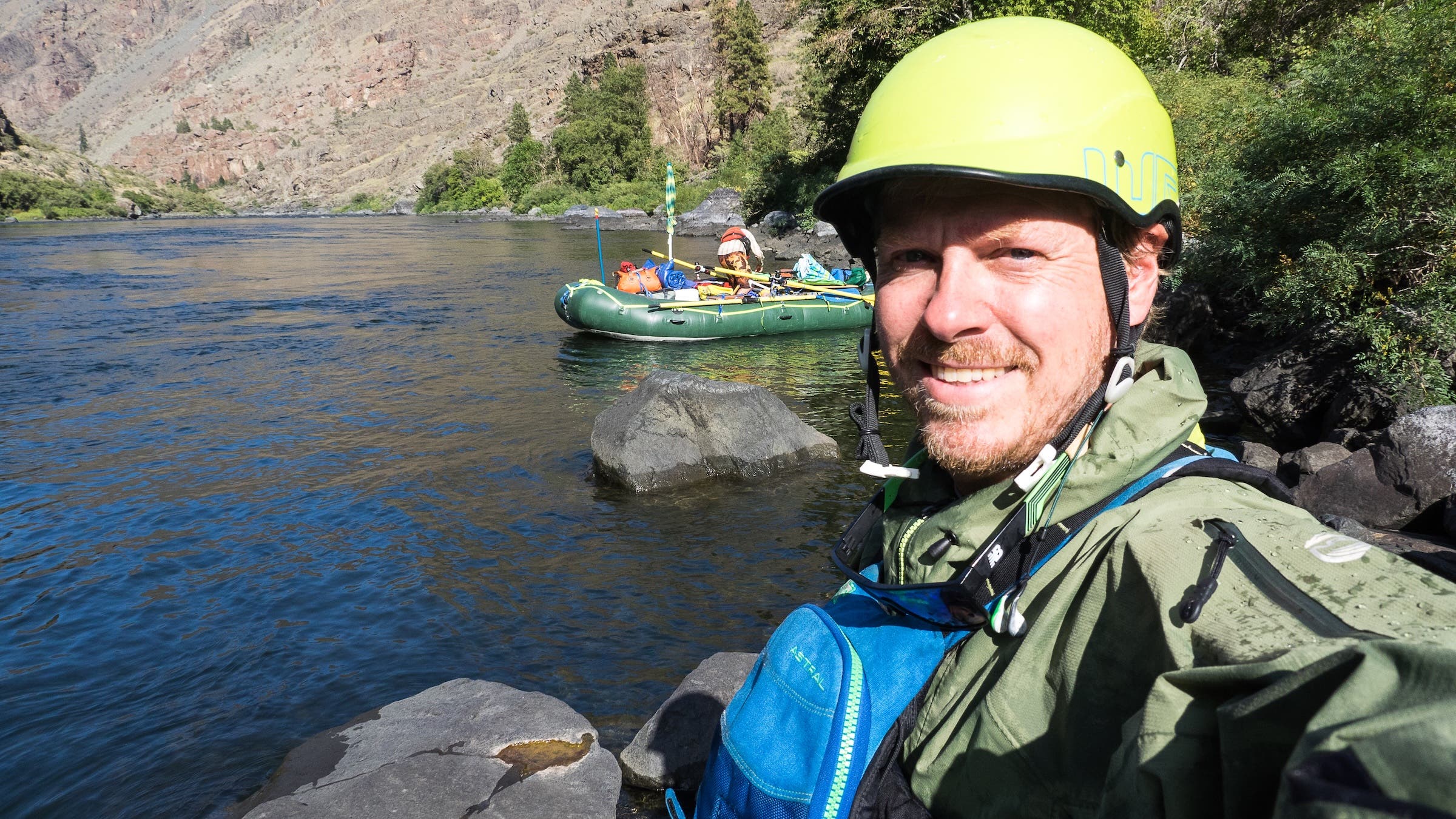
Economically, the trail continues to support a string of rural communities across five states. Heritage tourism, combined with the growth of outdoor recreation—mountain biking in the Blue Mountains, rafting in Hells Canyon, and backpacking in the Winds—has created a sustainable model for preserving these historic corridors.
The environmental impact of the trail also remains a subject of study. The permanent ruts and the introduction of invasive species by 19th-century livestock altered the ecology of the Great Plains and the Intermountain West in ways that are still visible today.
Chronology of the Oregon Trail Era
- 1836: Missionaries Marcus and Narcissa Whitman make the first wagon crossing to the Columbia River basin.
- 1843: The "Great Migration" begins as nearly 1,000 emigrants depart for Oregon.
- 1847: The Whitman Mission incident and subsequent Cayuse War highlight the escalating conflict between settlers and Indigenous tribes.
- 1849: The California Gold Rush causes a massive surge in trail traffic, leading to increased disease outbreaks.
- 1862: The Homestead Act is passed, further incentivizing westward migration.
- 1869: The completion of the First Transcontinental Railroad effectively ends the era of the wagon train.
- 1978: Congress establishes the Oregon National Historic Trail under the National Trails System Act.
In conclusion, the Oregon Trail is no longer viewed merely as a path to a new life, but as a complex symbol of American ambition, tragedy, and environmental change. By retracing the route in the 21st century, travelers and historians alike are uncovering a story that is far more diverse and challenging than the one found in the schoolbooks of the past. The preservation of the trail’s ruts, ruins, and records ensures that this pivotal chapter of human migration remains accessible for critical study and reflection.