
 Anjar Salim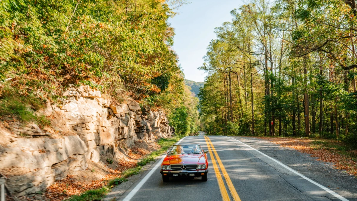
The state of West Virginia has long been defined by its rugged topography and the intricate network of "country roads" that traverse the Appalachian Mountains. Among these routes, the Cranberry Corridor has emerged as a quintessential example of the state’s commitment to preserving scenic byways while fostering a robust outdoor recreation economy. This corridor, which winds through the heart of the Monongahela National Forest and connects several of the state’s most significant natural landmarks, serves as a primary artery for a tourism industry that has seen record-breaking growth in recent years. By integrating well-maintained infrastructure with high-density access to state parks, national preserves, and historic municipalities, the Cranberry Corridor offers a strategic blueprint for how rural regions can leverage natural capital to drive economic development and environmental stewardship.
The Strategic Importance of the Cranberry Corridor
West Virginia’s Department of Tourism has centered much of its "Almost Heaven" branding on the accessibility and aesthetic appeal of its scenic byways. The Cranberry Corridor is not merely a transit route but a curated experience that highlights the geological and ecological diversity of the Mid-Atlantic highlands. According to data from the West Virginia Department of Economic Development, tourism spending in the state reached a record $5.3 billion in 2022, a 17% increase over pre-pandemic levels. A significant portion of this growth is attributed to the "road-trip" segment of the market, where travelers seek self-paced, independent exploration of natural landscapes.
The corridor is characterized by its high average elevation and its proximity to the New River Gorge National Park and Preserve, which was redesigned as a national park in late 2020. This federal designation has had a "halo effect" on nearby attractions along the Cranberry Corridor, drawing international visitors who utilize the state’s byways to navigate between the gorge and the high-altitude wilderness areas to the north.
Stop One: The Economic and Recreational Significance of Summersville Lake
The journey along the Cranberry Corridor typically begins at Summersville Lake, a site that underwent a significant administrative transition in 2023. Formerly managed primarily by the U.S. Army Corps of Engineers for flood control, the area was officially designated as West Virginia’s 36th state park. This 177-acre addition, known as Summersville Lake State Park, was established to enhance public access to the "Little Bahamas of the East."
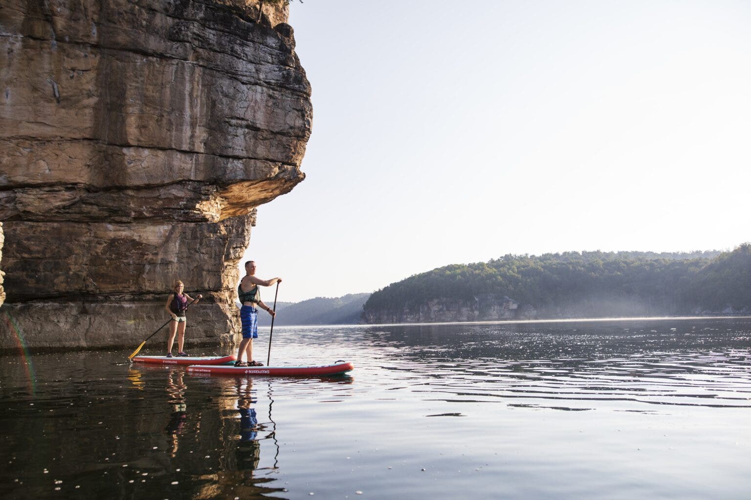
Summersville Lake is the largest body of water in West Virginia, featuring approximately 60 miles of shoreline and depths reaching 327 feet. The lake’s water quality is a primary draw; it is frequently cited as the clearest freshwater lake east of the Mississippi River, with visibility often exceeding 30 feet. This clarity makes it a premier destination for scuba diving and technical rock climbing. The sandstone cliffs surrounding the reservoir provide hundreds of routes for climbers, many of which are accessible only by boat.
The economic impact of Summersville Lake is substantial. Local outfitters, such as New River Mountain Guides, provide the technical expertise and equipment necessary for visitors to engage with the terrain safely. The integration of high-adrenaline sports like rock climbing with traditional family recreation such as boating and hiking has allowed the Summersville region to diversify its seasonal revenue streams.
Stop Two: Lewisburg and the Intersection of Heritage and Commerce
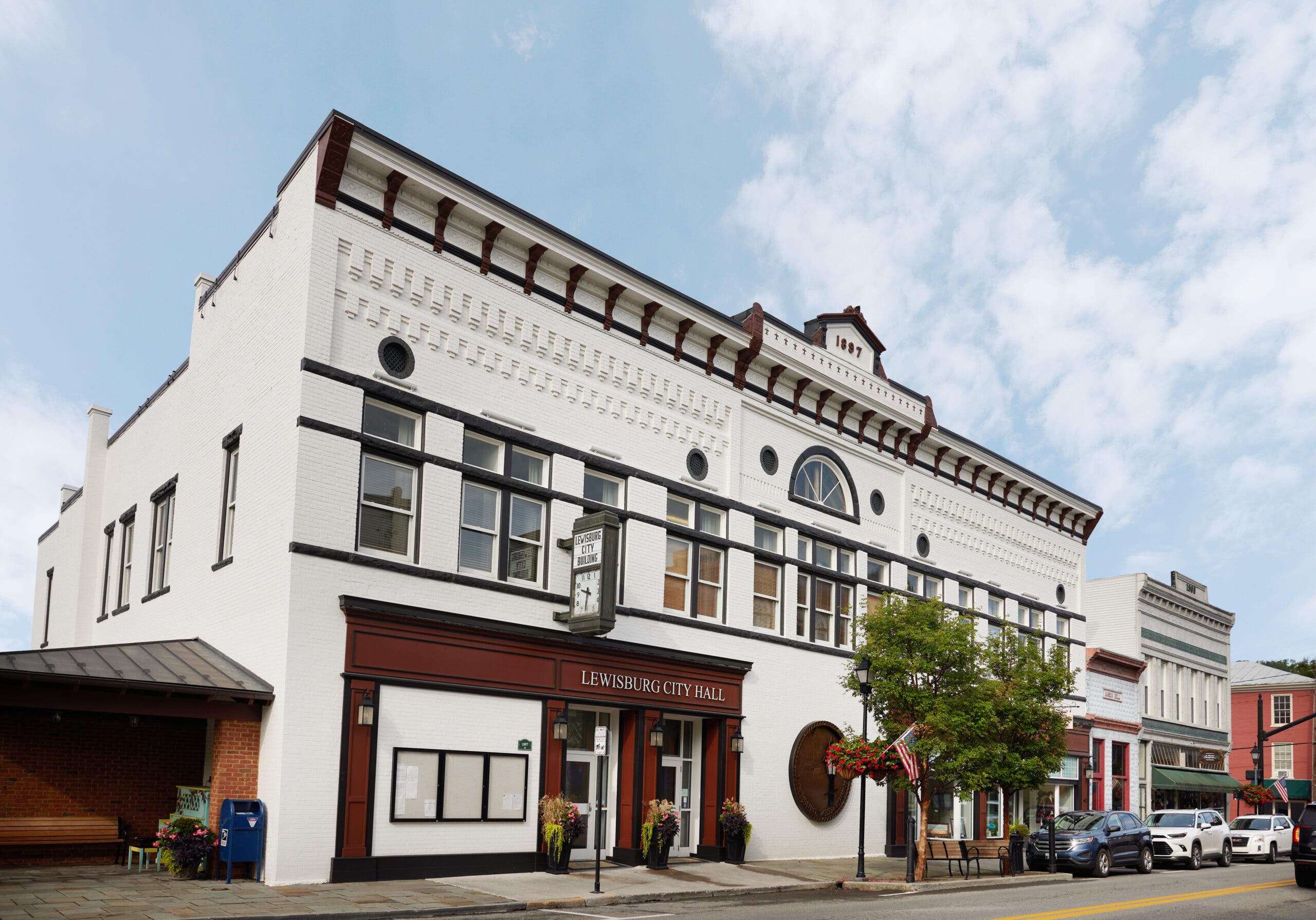
Moving south and east along the corridor, the town of Lewisburg serves as the cultural and commercial anchor of the route. Lewisburg is frequently recognized in national publications for its "small-town" appeal, but its significance is rooted in its historical preservation and its role as a gateway to the Greenbrier Valley. The town’s historic district is listed on the National Register of Historic Places, featuring architecture that dates back to the late 18th century.
Lewisburg’s economic model relies on a blend of heritage tourism and modern culinary and craft industries. Establishments such as Hill and Holler and the Briergarten represent a growing trend of "recreation-adjacent" businesses that cater to travelers coming off the trails. The town also provides critical access to the Greenbrier River Trail, a 78-mile long rail-trail that is part of the state park system.
The Greenbrier River Trail is a vital asset for the region’s "active tourism" sector. As a former corridor of the Chesapeake and Ohio Railway, the trail maintains a consistent grade of less than 1%, making it accessible for cyclists, hikers, and cross-country skiers of varying skill levels. The trail follows the Greenbrier River, one of the longest free-flowing rivers in the Eastern United States, providing a corridor for both terrestrial and aquatic recreation.
Stop Three: The Geological Uniqueness of Beartown State Park
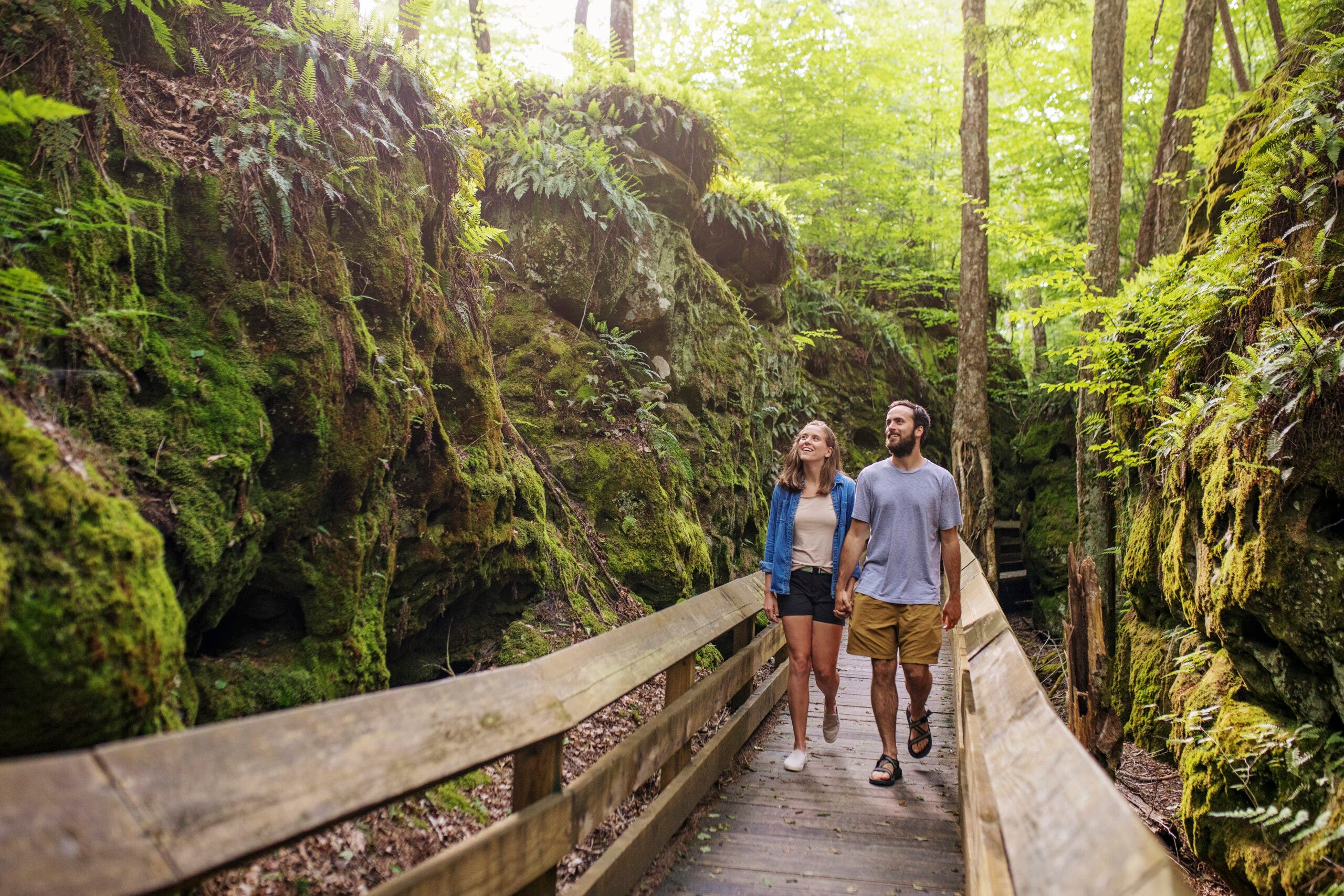
Located on the eastern edge of Droop Mountain, Beartown State Park offers a distinct geological experience that highlights the ancient history of the Appalachian plateau. The park is comprised of massive boulders of Droop Sandstone, which have been separated by deep fissures and eroded into unique shapes over millions of years. These formations, often covered in thick carpets of moss and ferns, create a microclimate that is significantly cooler than the surrounding forest.
From a management perspective, Beartown State Park is a model of accessible conservation. The park features a comprehensive boardwalk system that allows visitors to navigate the treacherous and fragile rock formations without causing environmental degradation. This infrastructure ensures that the park remains family-friendly and compliant with the Americans with Disabilities Act (ADA), a critical factor in modernizing state park systems to meet the needs of a diverse visiting public. The visual appeal of Beartown—often compared to otherworldly cinematic landscapes—has made it a focal point for digital marketing efforts aimed at younger, visually-driven demographics.
Stop Four: Ecological Diversity at the Cranberry Glades Botanical Area
The northern terminus of the corridor features the Cranberry Glades Botanical Area, a 750-acre nature preserve within the Monongahela National Forest. This area is of immense scientific importance, as it contains the largest area of acidic bogs in West Virginia. The glades represent a "glacial relict" ecosystem; the plants and animals found here are typically associated with the tundra of northern Canada.
The glades consist of four distinct bogs: Big Run, Flag, Round, and Long. These wetlands are home to rare plant species, including the carnivorous pitcher plant and sundew, as well as bog rosemary and buckbean. The area is also a critical habitat for various bird species, including the Nashville warbler and the hermit thrush, making it a destination for ornithologists and amateur birdwatchers alike.
In 1974, the Cranberry Glades were designated as a National Natural Landmark. This federal status highlights the importance of the area’s "quaking bogs," where layers of peat up to 10 feet thick float over water, causing the ground to move when disturbed. To protect this sensitive environment, the U.S. Forest Service maintains a half-mile boardwalk that provides a non-invasive viewing platform for the public.
Technical Analysis: The Highland Scenic Highway
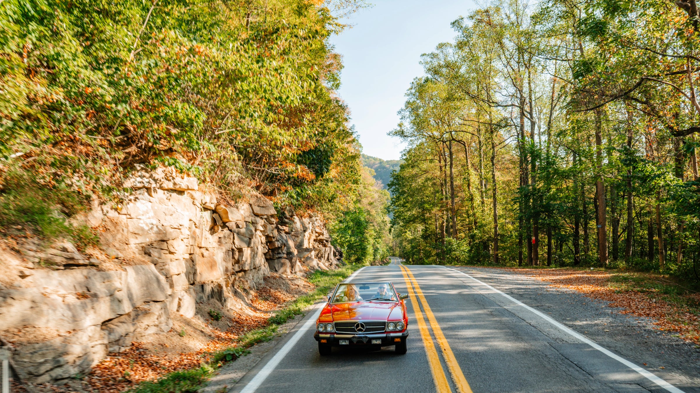
A discussion of the Cranberry Corridor is incomplete without the inclusion of the Highland Scenic Highway. This 43-mile stretch of road, comprising portions of State Routes 150 and 39, is the highest major highway in West Virginia. It reaches elevations of over 4,500 feet and offers four distinct scenic overlooks that provide panoramic views of the Cranberry Wilderness.
The highway was designed specifically for aesthetic enjoyment rather than high-speed transit. There are no commercial developments along its length, and the road is not plowed in the winter, effectively turning it into a seasonal trail for snowmobiles and cross-country skiers. This management strategy prioritizes the "wilderness experience" over industrial utility, a decision that aligns with the broader goals of the Monongahela National Forest to balance timber production, watershed protection, and recreation.
Broader Implications for Regional Development
The development and promotion of the Cranberry Corridor represent a broader shift in West Virginia’s economic identity. As the global demand for coal has fluctuated and shifted toward renewable energy sources, the state has aggressively pivoted toward the "outdoor economy." This transition is supported by the Outdoor Recreation Roundtable, which notes that the outdoor recreation industry contributes $1.1 trillion to the U.S. economy and supports millions of jobs.
In West Virginia, the "Almost Heaven" campaign has successfully repositioned the state as a premier destination for the 50 million people living within a day’s drive of its borders. The Cranberry Corridor serves as a microcosm of this strategy: it bundles diverse natural assets—lakes, historic towns, geological wonders, and rare ecosystems—into a single, navigable experience.
Conclusion and Future Outlook
The Cranberry Corridor stands as a testament to the enduring value of the Appalachian landscape. By maintaining high-quality infrastructure and investing in the accessibility of its state and national parks, West Virginia has created a sustainable model for rural tourism. The corridor not only provides a sanctuary for rare biological species and a playground for outdoor enthusiasts but also serves as a vital economic engine for the communities of Nicholas, Greenbrier, and Pocahontas counties.
As climate change continues to alter regional ecosystems, the high-altitude refugia found along the Cranberry Corridor, such as the Cranberry Glades, will become increasingly important for conservation efforts. Simultaneously, the continued investment in "slow travel" infrastructure—like the Highland Scenic Highway and the Greenbrier River Trail—ensures that the state remains competitive in a travel market that increasingly values authenticity, solitude, and direct engagement with the natural world. For the traveler, the corridor offers a journey through the "Almost Heaven" of the Appalachian highlands; for the state, it offers a path toward a resilient and diversified future.


 Chandra Hamzah
 Tatiana Tantri Indah Sari
 Budi Mulyono
 Lukman Taruna Persada Ramadan