The global landscape of environmental conservation is undergoing a significant transformation as the United Nations Educational, Scientific and Cultural Organization (UNESCO) expands its network of Global Geoparks, emphasizing a holistic approach that integrates geological preservation with human history. As of April 2026, the UNESCO Global Geopark network has grown to encompass 229 designated sites across 50 countries, representing a diverse array of the planet’s most significant geological features. Unlike traditional national parks, which often prioritize the exclusion of human activity to preserve "untouched" wilderness, these geoparks are built upon the principle of "living landscapes," where local communities, indigenous traditions, and scientific education converge to create a sustainable model for tourism and land management.
The Evolution and Mandate of UNESCO Global Geoparks
The concept of the Global Geopark emerged from a need to recognize areas of international geological significance that were not necessarily covered by World Heritage status. While World Heritage sites are selected based on "outstanding universal value," Geoparks focus on the "bottom-up" approach, where local communities take the lead in managing their geological heritage.
The formalization of this network followed a clear chronological trajectory. In 2001, the European Geoparks Network was established, followed by the creation of the Global Geoparks Network (GGN) in 2004. However, it was not until November 2015 that the 195 Member States of UNESCO officially ratified the creation of the UNESCO Global Geoparks label. This move placed Geoparks on the same level of international recognition as World Heritage sites and Biosphere Reserves. To maintain this prestigious designation, sites must undergo a rigorous revalidation process every four years, ensuring they continue to meet high standards of geological conservation, education, and community involvement.
Distinguishing Geoparks from National Park Systems
To understand the impact of geoparks, one must analyze how they differ from the traditional National Park model, which was pioneered by the United States in the 19th century. National parks are generally managed by federal agencies with a focus on protecting large, often remote, tracts of land from development. The goal is frequently the preservation of a "pristine" environment, which historically has sometimes led to the displacement of indigenous populations or the restriction of traditional land uses.

In contrast, UNESCO Global Geoparks operate under a philosophy that views humans as an integral part of the ecosystem. A geopark is not a "fortress" but a forum. The designation requires that local communities—including indigenous groups, historians, and local governments—be active participants in the governance and storytelling of the land. According to UNESCO guidelines, a geopark must demonstrate that it contributes to the local economy through sustainable geotourism and that it provides educational resources for both residents and visitors. This "living laboratory" aspect ensures that the 400-million-year history of the Earth remains relevant to the people living on its surface today.
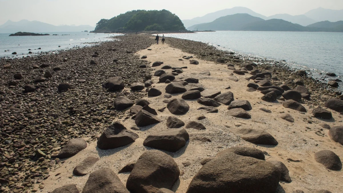
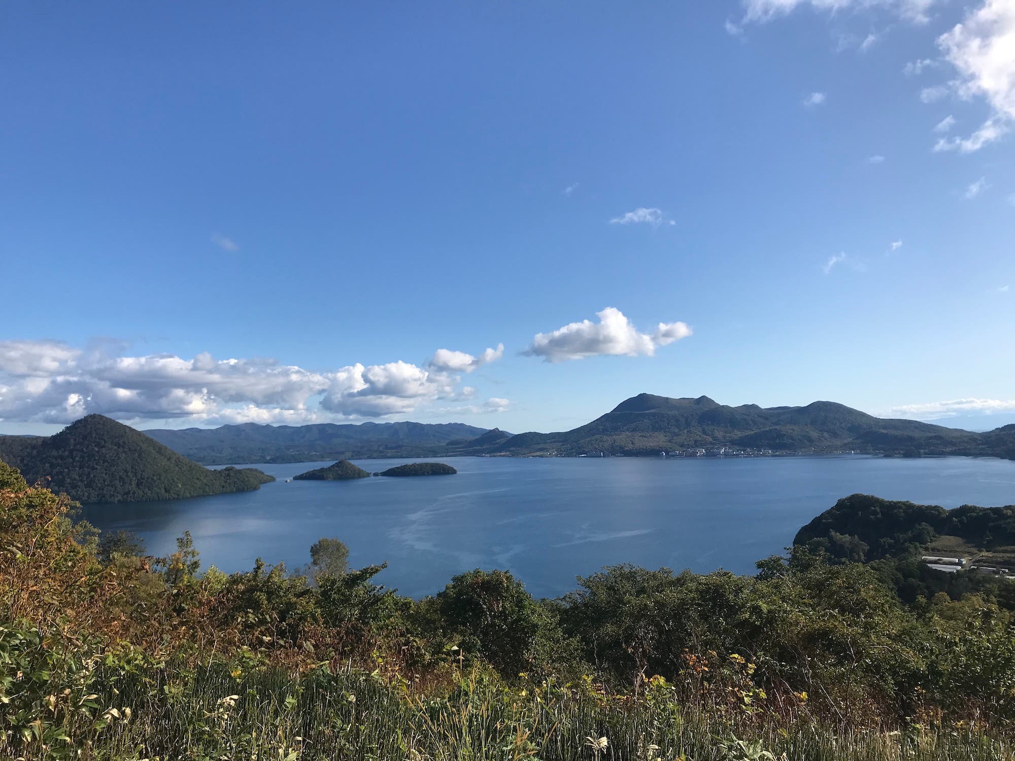
Case Study: Toya-Usu UNESCO Global Geopark, Japan
Hokkaido, Japan’s northernmost island, serves as a primary example of how geoparks manage active geological threats while celebrating cultural identity. The Toya-Usu UNESCO Global Geopark is centered around the Mount Usu stratovolcano and the Lake Toya caldera. This region is the ancestral home of the Ainu people, whose culture is deeply intertwined with the volcanic landscape.
Geological Activity and Disaster Risk Reduction
Mount Usu is one of Japan’s most active volcanoes, having erupted four times in the last century (1910, 1943-45, 1977-78, and 2000). The 2000 eruption, in particular, became a turning point for the region’s management. Instead of abandoning the area, the local community developed a "disaster risk reduction culture." This involves maintaining "ruins" of the 2000 eruption—such as damaged roads and buildings—as educational tools to teach visitors and residents about the power of tectonic forces.
The Role of "Volcano Meisters"
A unique feature of Toya-Usu is the "Volcano Meister" program. These are certified local experts who have lived through eruptions and are trained to educate the public on volcanic activity and evacuation procedures. This program exemplifies the UNESCO requirement for local stewardship. Guides such as Rie Egawa provide "Sotoasobu" (outdoor play) tours that blend scientific facts about the volcano’s crater rim with personal narratives of resilience.
Infrastructure and Access
The geopark integrates modern infrastructure with rugged trails. The Mount Usu Ropeway provides year-round access to the summit, while the 3-mile Outer Rim Trail offers views of the 1977 eruption crater. For those seeking solitude, the Nakajima Island Loop, accessible by ferry, allows for "forest bathing" in stands of Sakhalin spruce, further connecting the geological basin of the lake with its biological diversity.
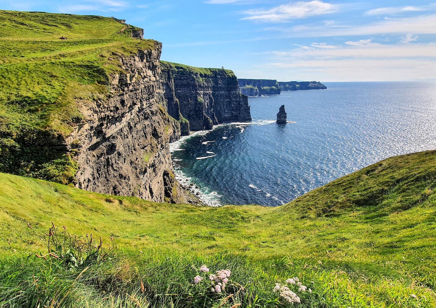
Case Study: Stonehammer UNESCO Global Geopark, Canada
Located in New Brunswick, Stonehammer was the first site in North America to receive a UNESCO Global Geopark designation. Its significance lies in its visibility; it is a landscape where the billion-year history of the Earth is exposed on the doorsteps of an industrial port city, Saint John.
Scientific Heritage and the "Steinhammer" Legacy
The geopark’s name pays homage to the "Steinhammer Club," a group of amateur and professional geologists who began mapping the region in 1857. Their work led to the discovery of some of the first recorded Precambrian fossils and Cambrian trilobites in Canada. This historical context provides a layer of human scientific endeavor to the physical rock formations.
The Bay of Fundy and Reversing Falls Rapids
The defining geological feature of Stonehammer is the interaction between the Saint John River and the Bay of Fundy, which experiences the highest tides in the world. At the Reversing Falls Rapids, the massive influx of seawater twice daily forces the river to flow backward. This phenomenon is caused by a 30-foot-deep underwater gorge that creates violent rapids and whirlpools. The geopark manages this area not just as a scenic viewpoint, but as a site for understanding tidal energy and sedimentary processes.
Community Integration and Local Industry
Stonehammer demonstrates how a geopark can coexist with modern industry. Saint John is a major marine trading hub, yet the Irving Nature Park and the Split Rock Trail offer rugged coastal hiking just minutes from the city center. The integration of local businesses, such as the 160-year-old Moosehead Brewery and the Saint John City Market, into the geopark’s promotional ecosystem ensures that tourism revenue stays within the community, fulfilling the UNESCO mandate for sustainable economic development.
Broader Socio-Economic and Environmental Impact
The expansion of the Geopark network comes at a time when the global tourism industry is shifting toward more purposeful, educational travel. Data from various tourism boards suggest that "geotravelers"—those interested in the geological and cultural authenticity of a destination—tend to stay longer and spend more in local economies than traditional mass-market tourists.
Supporting UN Sustainable Development Goals
UNESCO Global Geoparks contribute directly to the United Nations 2030 Agenda for Sustainable Development. Specifically, they address Goal 4 (Quality Education) by providing outdoor classrooms; Goal 8 (Decent Work and Economic Growth) by fostering local entrepreneurship; and Goal 13 (Climate Action) by educating the public on Earth’s long-term environmental changes.
Indigenous Rights and Representation
One of the most significant impacts of the Geopark model is the platform it provides for indigenous voices. In Hokkaido, the Upopoy National Ainu Museum and Park works in tandem with the Toya-Usu Geopark to ensure that the Ainu perspective on "Kamuy" (spirit-beings within nature) is respected. Similarly, geoparks in Canada and South America are increasingly incorporating indigenous place names and traditional ecological knowledge into their signage and programming.
Analysis of Future Implications
As the world faces accelerating climate change and biodiversity loss, the role of Geoparks as "living laboratories" will likely grow in importance. By studying how the Earth has responded to past cataclysms—such as the tectonic shifts that created the 400-million-year-old formations in Stonehammer—scientists and the public can gain a better perspective on the planet’s resilience.
Furthermore, the "bottom-up" governance model of Geoparks offers a blueprint for future conservation efforts. By proving that economic development and environmental preservation are not mutually exclusive, UNESCO is creating a sustainable path forward for regions that might otherwise struggle to balance industrial needs with heritage protection. For the modern hiker and traveler, the Geopark represents a move away from the "checklist" style of tourism toward a deeper, more empathetic connection with the ground beneath their feet.