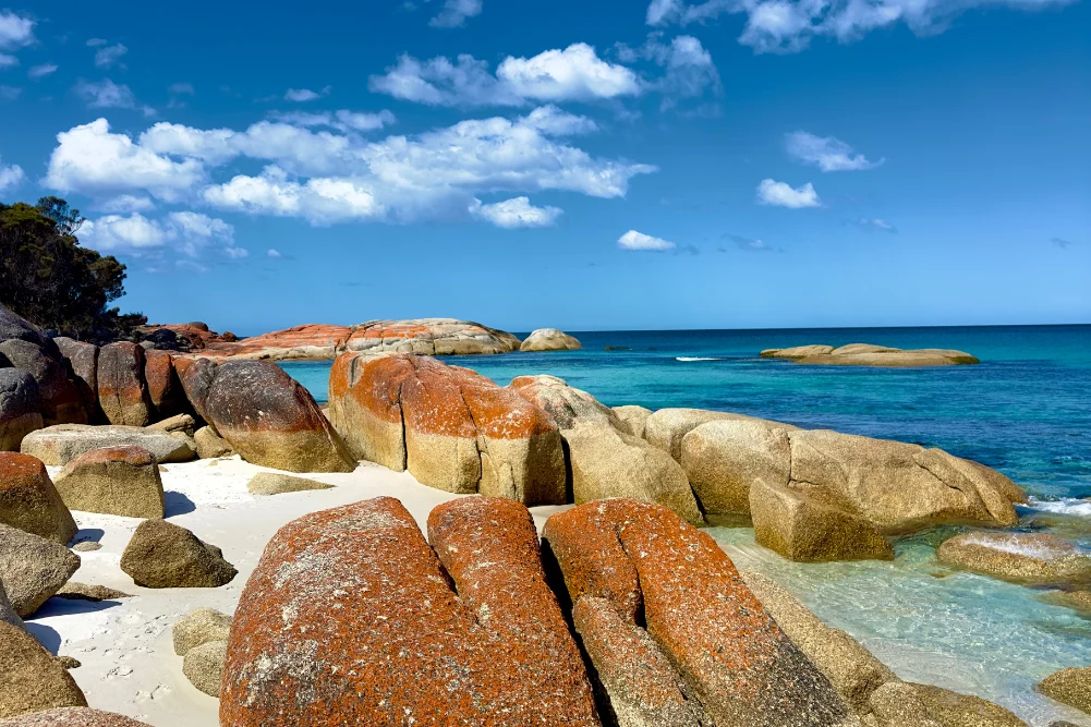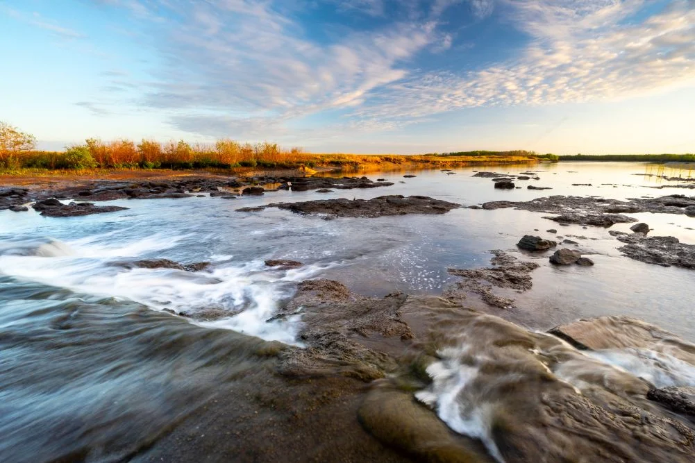
Located approximately 150 kilometers east of Darwin, the Mary River National Park serves as one of Australia’s most significant ecological corridors, encompassing a diverse array of billabongs, paperbark forests, and vast floodplains. While the Northern Territory capital is often associated with its bustling waterfront and commercial "jumping crocodile" tours, the Mary River region offers a more visceral encounter with the primitive wilderness of the Top End. The park is renowned for harboring the highest concentration of estuarine (saltwater) crocodiles (Crocodylus porosus) in the world, a fact that shapes the management, recreational activities, and safety protocols of the entire catchment area. Covering a landscape characterized by lily-fringed lagoons and dense monsoon forests, the wetlands are a critical habitat for migratory birds and a premier destination for recreational anglers seeking the iconic barramundi.
Ecological Infrastructure and the Shady Camp Barrage
The management of the Mary River’s delicate balance between saltwater and freshwater ecosystems underwent a significant shift in the late 1980s. To combat the increasing threat of saltwater intrusion—which was destroying vast tracts of freshwater paperbark forests and floodplains—authorities constructed a concrete barrage at Shady Camp. This artificial barrier was designed to prevent the tidal surge of the Arafura Sea from penetrating further upstream, thereby preserving the freshwater habitats that support diverse flora and fauna.
However, the barrage has created a unique and somewhat hazardous interface between humans and apex predators. While the concrete wall successfully limits the flow of saltwater, it does not impede the movement of estuarine crocodiles, which frequently scale or navigate around the barrier. This site has become a focal point for "run-off" fishing, a period following the wet season (typically February to May) when receding waters from the floodplains carry nutrients and baitfish into the main river channels. During this time, the Mary River Wetlands purge their marshes, sending fish over the barrage and into the jaws of waiting predators.
The Dynamics of the Barramundi Run-Off
The "run-off" is a cornerstone of the Northern Territory’s recreational fishing economy, which contributes significantly to the region’s multi-million dollar tourism industry. At Shady Camp, the spectacle of the run-off is marked by a high-stakes competition between anglers and crocodiles. As barramundi (Lates calcarifer) congregate to feed on the influx of prey, anglers often stand in close proximity to the water’s edge—and occasionally on the barrage itself—to secure a catch.
Environmental data suggests that the Mary River system is one of the most productive barramundi nurseries in the Top End. The presence of the barrage concentrates fish populations, creating a feeding frenzy that attracts not only human fishers but also a variety of avian predators. Observers at the site frequently document White-bellied Sea Eagles (Haliaeetus leucogaster) and various species of cormorants and herons competing for the same resources. This ecological convergence highlights the complexity of managing a park that serves as both a high-density predator habitat and a popular recreational hub.
Historical Context: The Legacy of John McDouall Stuart
The human history of the Mary River is as storied as its natural history. Shady Camp owes its name to the pioneering explorer John McDouall Stuart, who utilized the banks of the Mary River as a final resting point during his sixth and most famous expedition in 1862. Stuart’s successful crossing of the Australian continent from Port Augusta to the northern coast was a monumental feat that paved the way for the Australian Overland Telegraph Line and the eventual establishment of Darwin.
Stuart reached the Arafura Sea on July 24, 1862, at a point now known as Point Stuart. Today, the park maintains trails that follow the general trajectory of Stuart’s final push to the coast. The Point Stuart Wilderness Lodge and the Northern Territory government maintain historical markers, including the Stuart’s Tree Memorial Cairn. However, access to these historical sites remains heavily dictated by the tropical climate. During the wet season, the unsealed roads leading to Point Stuart often become impassable, underscoring the same environmental challenges that Stuart faced over 160 years ago.
Biodiversity and Avian Populations
Beyond its reputation for crocodiles, the Mary River Wetlands are recognized under international frameworks as a vital sanctuary for birdlife. The park’s various billabongs, such as Mistake Billabong and Rockhole Billabong, serve as permanent water sources during the dry season, attracting thousands of birds.
Ornithological surveys in the region frequently record sightings of the Comb-crested Jacana (Irediparra gallinacea), also known as the "Jesus bird" for its ability to walk on floating lily pads. The wetlands also support massive populations of Magpie Geese (Anseranas semipalmata), which gather in the thousands to feed on the floodplains. Other notable species include the Jabiru (Black-necked Stork), the Rainbow Bee-eater, and various species of cockatoos. The density of birdlife in the Mary River is often cited by conservationists as a primary reason for the park’s protected status, providing a critical stopover for migratory species traveling along the East Asian-Australasian Flyway.
Regional Infrastructure and Tourism Impact
Tourism in the Mary River National Park is supported by a mix of public and private infrastructure. The Northern Territory Department of Environment, Parks and Water Security manages several campgrounds, including those at Shady Camp and Couzens Lookout. These sites are equipped with basic amenities such as fire pits, picnic tables, and wheelchair-accessible toilets, reflecting a management strategy that prioritizes low-impact, nature-based tourism.
Private enterprises, such as the Point Stuart Wilderness Lodge and various cruise operators at Corroboree Billabong, provide more structured experiences. These include guided fishing safaris and wildlife cruises that allow visitors to observe crocodiles and birdlife from the safety of specialized vessels. According to regional tourism data, the accessibility of the Mary River—being a relatively short drive from Darwin via the Arnhem Highway—makes it a key asset for the "drive tourism" market, attracting both domestic "grey nomads" and international visitors.
Chronology of Environmental and Management Milestones
- 1862: John McDouall Stuart arrives at the Mary River, completing the first successful south-to-north crossing of Australia.
- Late 1980s: Construction of the Shady Camp barrage to mitigate saltwater intrusion and protect freshwater wetlands.
- 1990s-Present: Expansion of the Mary River National Park boundaries to include diverse ecosystems from the Arnhem Highway to the coast.
- 2000s: Implementation of the Northern Territory Crocodile Management Plan, which balances public safety with the conservation of the species.
- 2023-2024: Continued investment in park infrastructure, including digital booking systems for campgrounds to manage visitor density and environmental impact.
Safety and Predator Management
The coexistence of high-density crocodile populations and human recreational activities necessitates rigorous safety protocols. Parks and Wildlife NT consistently issue warnings regarding the "Crocwise" strategy, emphasizing that any body of water in the Top End should be considered a potential crocodile habitat. The Mary River, in particular, requires a high level of vigilance. While freshwater crocodiles (Crocodylus johnstoni) are also present and generally considered less aggressive, the sheer size and territorial nature of the estuarine crocodiles at Shady Camp and Couzens Lookout pose a significant risk to those who approach the water’s edge.
Analysis of visitor behavior at the Shady Camp barrage suggests a persistent tension between recreational desire and safety compliance. Despite the presence of large predators, the lure of the barramundi run-off continues to draw crowds. This has led to calls from some conservation groups for increased physical barriers or stricter enforcement of exclusion zones to prevent potential fatalities, which can have a devastating impact on local tourism and the reputation of the park.
Broader Implications and Future Outlook
The future of the Mary River Wetlands is inextricably linked to climate change and water management. Rising sea levels pose a renewed threat of saltwater intrusion, which could overwhelm the existing barrage system and alter the freshwater balance of the floodplains once again. Furthermore, the management of invasive species, such as feral water buffalo and invasive weeds like Mimosa pigra, remains a constant challenge for park rangers.
The economic importance of the wetlands cannot be overstated. As Darwin continues to grow as a northern gateway for Australia, the Mary River National Park serves as a crucial "overflow" destination that relieves pressure on other sites like Litchfield and Kakadu. The park’s ability to offer a "primitive" experience—sleeping under the stars and engaging with untamed wildlife—remains its greatest drawcard.
In summary, the Mary River Wetlands represent a complex intersection of historical legacy, ecological significance, and modern management challenges. As a sanctuary for the world’s most formidable reptiles and a haven for rare avian species, the park stands as a testament to the raw beauty and inherent dangers of the Northern Territory’s wilderness. For the visitor, it offers a rare opportunity to witness an ecosystem that operates largely on its own ancient terms, provided they respect the boundaries set by both the environment and its apex inhabitants.